
Sunshine Coast Timber Supply Area
The Sunshine Coast Timber Supply Area (TSA) occupies the south coast of British Columbia about 100 km north of Vancouver. It is within the South Coast Natural Resource Region and is administered by the B.C. government’s Sunshine Coast Natural Resource District office in Powell River.
The Sunshine Coast TSA comprises approximately 1.7 million hectares on the southwestern coast.
Current Allowable Annual Cut (AAC)
Effective June 6, 2024, the allowable annual cut (AAC) for the Sunshine Coast TSA is 1,050,000 cubic metres of which a maximum of 262 500 cubic metres may be harvested from stands older than 140 years, and a maximum of 787 500 cubic metres may be harvested from stands 140 years and younger. A new AAC will be determined once the Sunshine Coast Forest Landscape Plan (FLP) is completed.
Current Timber Supply Review
- Rationale for AAC Determination June 2024 (PDF, 2.28MB)
- Discussion Paper March 2023 (PDF, 1.2MB)
- Data Package December 2021 (PDF, 1.82MB)
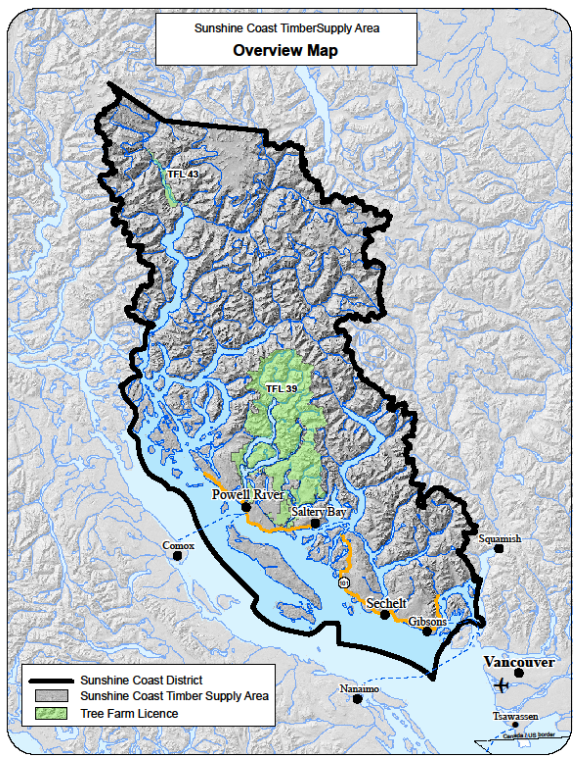
The Sunshine Coast TSA encompasses about 1.56 million hectares. It extends from Howe Sound in the south to the head of Bute Inlet in the north
Contact information
Feedback is welcome on any issues related to the Sunshine Coast TSA timber supply review. Public input is vital to the timber supply review process.