
Lillooet Timber Supply Area
The Lillooet Timber Supply Area (TSA) is in southwestern British Columbia between the Coast Mountains and the Thompson–Okanagan Plateau. It covers about 1.12 million hectares and includes the communities of Lillooet and Lytton.
The TSA is administered by the Cascades Natural Resource District in Merritt.
Partition
Under Section 8(5) of the Forest Act the chief forester in determining an AAC can specify a portion of the AAC that is attributable to certain types of timber, terrain, or areas of the TSA.
Within this AAC, there are two partitions:
- a maximum of 300 000 cubic metres attributable from live trees;
- a maximum of 180 000 cubic metres attributable to live trees on slopes less than 40 percent.
Current Allowable Annual Cut (AAC)
Effective October 12, 2023, the Lillooet TSA’s allowable annual allowable cut (AAC) is 375,000 cubic metres.
Current Timber Supply Review
- Rationale for AAC Determination (PDF, 2,19MB) October 2023
- Discussion Paper (PDF 2.1MB) August 2022
- Data Package (PDF, 1MB) January 2021
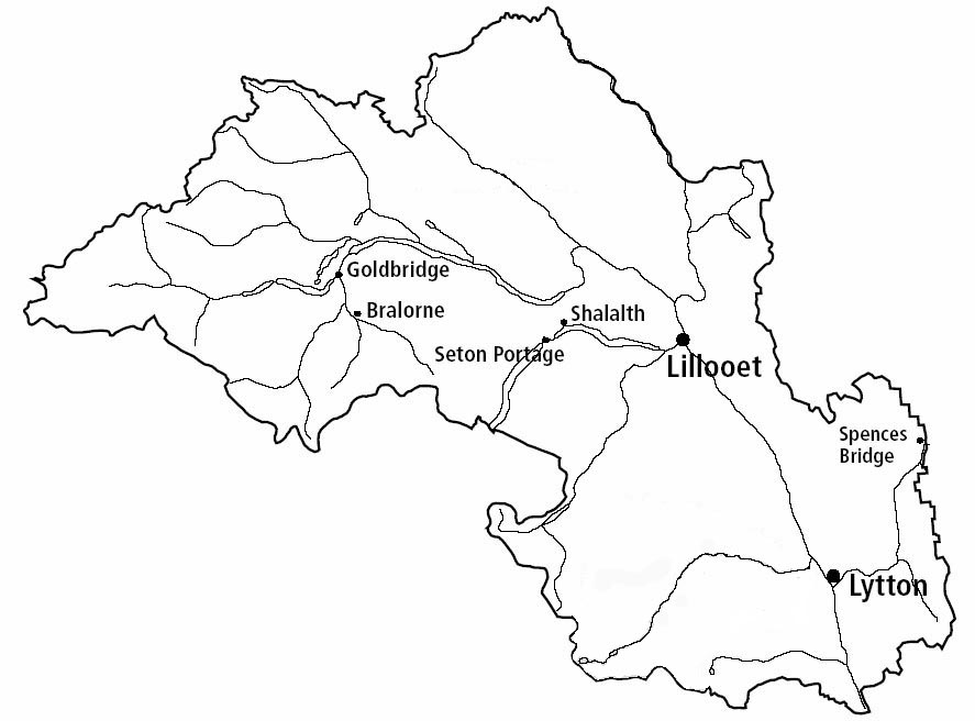
The Lillooet TSA is situated in southwestern British Columbia between the Coast Mountains and the Thompson–Okanagan Plateau and covers approximately 1.12 million hectares.
Contact information
Feedback is welcome on any issue related to the TSA's timber supply review. Public input is vital to the timber supply review process.