
Okanagan Timber Supply Area
The Okanagan Timber Supply Area (TSA) covers about 2.25 million hectares of the Thompson-Okanagan Natural Resource Region in south-central British Columbia.
The TSA stretches from the Seymour River and Shuswap Lake in the north to the Canada-United States border in the south, and from the Monashee Mountains in the east to the Okanagan Mountains in the west. It includes the communities of Penticton, Vernon, Kelowna and Salmon Arm.
The TSA is administered by the Okanagan Shuswap Natural Resource District office in Vernon, with field offices in Penticton and Salmon Arm.
Current Allowable Annual Cut (AAC)
Effective January 27, 2022 the Okanagan TSA allowable annual cut (AAC) is 2,462,800 cubic metres.
News release
Allowable annual cut level reduced in Okanagan Timber Supply Area
Public invited to comment on Okanagan Timber Supply Area
Current Timber Supply Review
- Rationale for AAC Determination (PDF, 1.7MB) January, 2022
- Data Package (PDF, 1.2MB) January, 2018
- Discussion Paper (PDF, 779KB) January, 2021
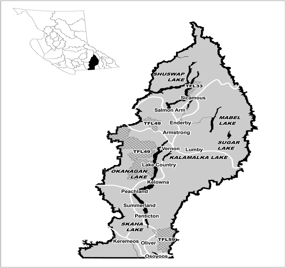
The Okanagan TSA comprises about 2.25 million hectares in south-central B.C.
Contact information
Feedback is welcome on any issues related to this timber supply review. Public input is a vital part of the timber supply review process.