
Kootenay Lake Timber Supply Area
The Kootenay Lake TSA is located in south-eastern BC between the Selkirk and Purcell Mountain ranges. North of the TSA is Glacier National Park and to the south is the Canada-United States international border.
The three largest communities in the TSA are Nelson, Creston and Kaslo. The Kootenay Lake TSA is administered by the Selkirk Natural Resource District office in Nelson.
Partition
Under Section 8(5) of the Forest Act the chief forester in determining an AAC can specify a portion of the AAC that is attributable to certain types of timber, terrain, or areas of the TSA.
Within this AAC, there are two partitions:
- A maximum of 25,300 cubic metres (4.6 percent of the AAC) can be harvested from old forest stands. Old forest stands are stands older than 250 years in less frequently disturbed ecosystems (natural disturbance type, or NDT 1, 2, and 4) and older than 140 years in more frequently disturbed ecosystems (NDT 3).
- A maximum of 524,700 cubic metres (95.4 percent of the AAC) can be harvested from forest stands that are not old. Forest stands that are not old are stands younger than or equal to 250 years in less frequently disturbed ecosystems (NDT 1, 2, and 4) and younger than or equal to 140 years in more frequently disturbed ecosystems (NDT 3).
Current Allowable Annual Cut (AAC)
Effective June 4, 2024, the AAC for the Kootenay Lake TSA is 550,000 cubic metres.
Current Timber Supply Review
- Rationale for AAC Determination (PDF, 2.30MB) June 2024
- Discussion Paper (PDF, 1.06MB) May 2023
- Data Package (PDF, 1.3MB) November 2020
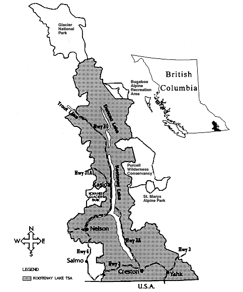
Kootenay Lake TSA covers about 1.2 million hectares in southeastern B.C. adjacent to the U.S. border.
Contact information
Feedback is welcome on any issues related to this timber supply review. Public input is a vital part of the timber supply review process.