
Lakes Timber Supply Area
The Lakes Timber Supply Area (TSA), located in north-central British Columbia, encompasses approximately 1.5 million hectares of land. It includes the Village of Burns Lake and smaller communities such as Decker Lake, Grassy Plains and Danskin. The TSA is administered by the Nadina Natural Resource District office located in Burns Lake.
Partition
Under Section 8(5) of the Forest Act the chief forester in determining an AAC can specify a portion of the AAC that is attributable to certain types of timber, terrain, or areas of the TSA.
The Lakes TSA's allowable annual cut (AAC) is 970,000 cubic metres, effective November 21, 2019 and includes three partitions:
- a maximum of 400,000 cubic metres per year is attributable to live coniferous volume;
- a maximum of 20,000 cubic metres per year is attributable to live deciduous volume; and
- a maximum of 550,000 cubic metres per year is attributable to dead volume.
News release
New cut level set for Lakes Timber Supply Area
Reference # 2019FLNRO278-002245* Released on November 21, 2019
Public input invited on the Lakes TSA discussion paper
Reference # 2019FLNRO102-000806* Released on April 29, 2019
Current Timber Supply Review
- Rationale for AAC Determination (PDF, 1.3MB) November 2019
This document was amended on December 17, 2019. The amendments provide clarification regarding areas in the timber harvesting land base. The level of the allowable annual cut and partitions remain unchanged from the document published on November 21, 2019.
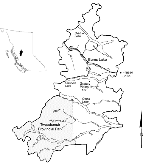
The Lakes timber supply area (TSA) located in north-central British Columbia, contains the headwaters of important tributaries of both the Skeena and Fraser watersheds as well as numerous lakes, which include some of the largest natural freshwater bodies in British Columbia.
Contact information
Feedback is welcome on any issues related to this timber supply review. Public input is a vital part of the timber supply review process.