
Cariboo Road Recovery Projects

The Cariboo Road Recovery Projects are restoring access, where feasible, to local roads and highways that were impacted by hundreds of landslides and washouts in recent years. This work includes making the road network more resilient to extreme weather events.
Altogether, these projects represent an unprecedented investment by the BC Government in the Cariboo Region. To date, construction on nine projects is underway or completed.

Services and information topics
Quesnel-Hixon Road

Closed. Safety improvements to nearby roads and the rehabilitation of the Cinema-Old/Ahbau Creek Bridge will be undertaken following a landslide.
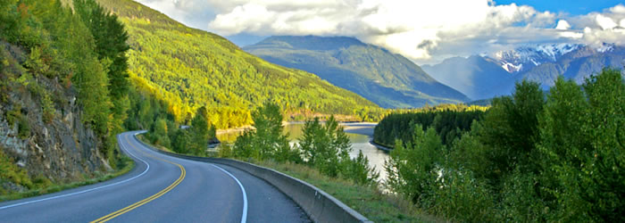
Highway 97 at Cottonwood Hill

Open. Aerial image of Phase 2 construction works along Highway 97 at Cottonwood Hill.
Blackwater Road at Knickerbocker Road

Open. Realignment of Blackwater Road and bank armouring are anticipated to begin in 2026 to address the impacts of the Knickerbocker Slide and North Fraser Slide.
Quesnel-Hydraulic Road

Open. Construction is underway to restore and realign road for long-term safety and stability.
Kersley-Dale Landing Road

Closed. Construction is underway following multiple slides in November 2020.
Bastin Road at Bastin Hill

Open to single-lane traffic. Construction underway to restore the road to two lanes for long-term safety and reliability.
Durrell Road

Permanently closed. Access route available via Dale Lake Road.
Highway 97 at Cuisson Creek

Open. Construction of safety and drainage improvements completed following multiple slides in 2021.
Soda Creek-MacAlister Road

Open. Construction of safety improvements completed following slide damage in 2020.
Highway 20 at Hodgson/Dog Creek Road

Open. Dog Creek Slide erosion mitigation construction complete. Geotechnical investigations and analysis, and surface water management upgrades for the ancient Hodgson Slide ongoing.
Featured in Cariboo Road Recovery Projects
DriveBC
Plan your route, find out about current road conditions, or report a highway problem.

Subscribe
Enter your email address to subscribe to updates of this page.
Contact information
Friendly Url for this Page:
gov.bc.ca/cariboo-road-recovery-projects
For more information contact:
Document Library
For more information on response to other road impacts and travel advisories in the Cariboo, visit: