B.C. Highway Flood Recovery Projects - Sunshine Coast

Work is now completed for repairing and increasing the resiliency of locations on the Sunshine Coast that were affected by the November 2021 atmospheric river event.
Permanent construction repairs for all sites began in Summer 2024. The construction at Kenyon Creek was completed in November 2024, and Flume Creek and Day Road were completed in October 2025.
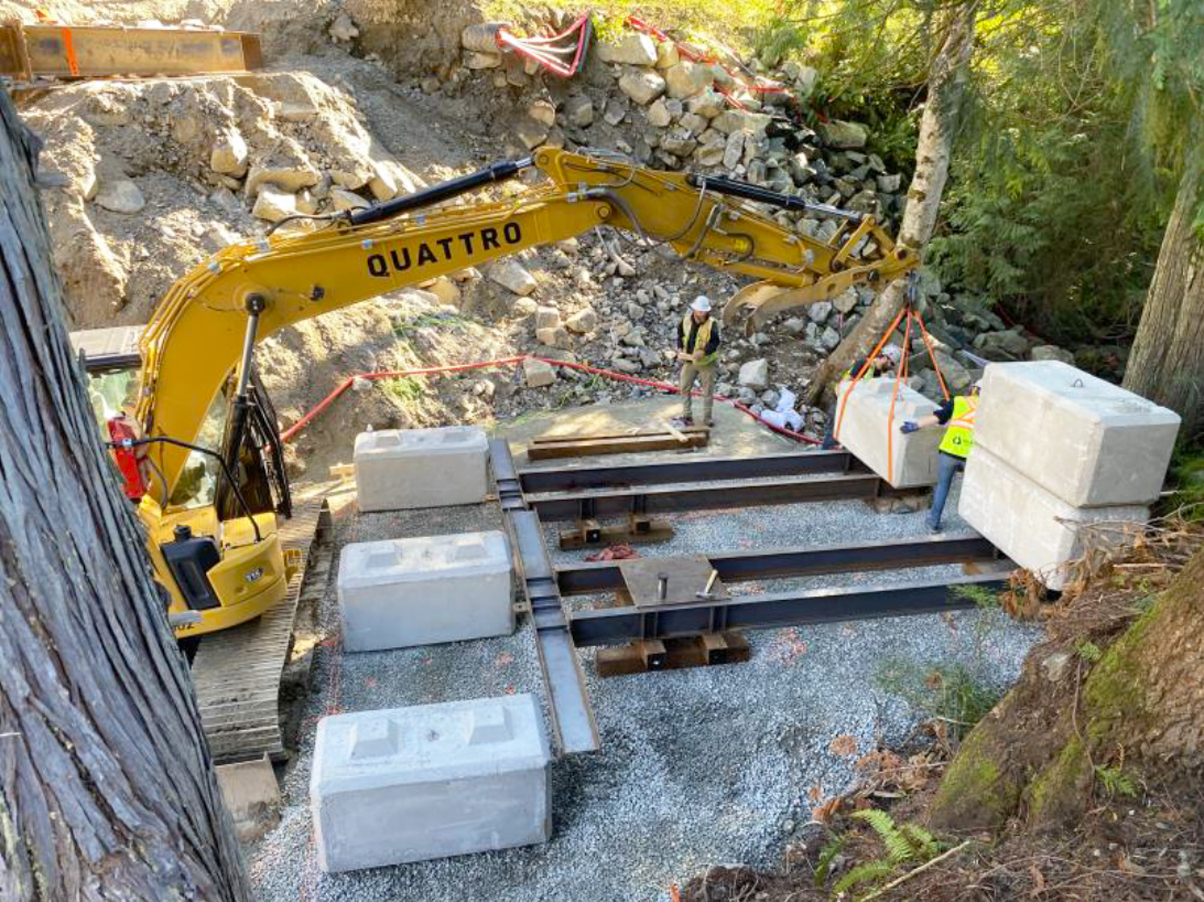
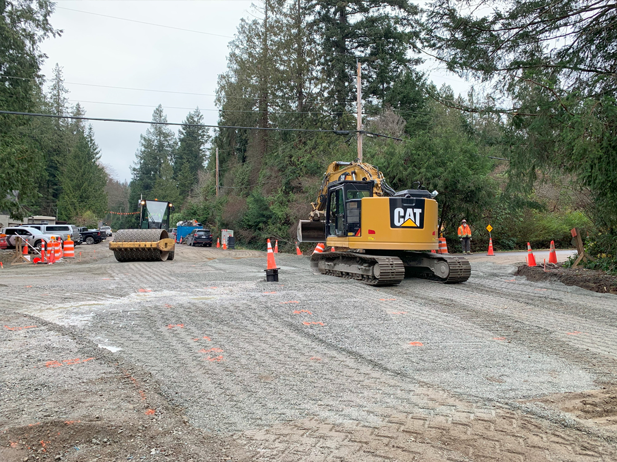
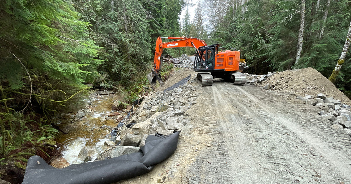
From November 13 to 15, 2021, a heavy rainstorm known as an atmospheric river event caused extensive damage to highway infrastructure, including several roads and culverts on the Sunshine Coast, including the following three project sites:
Photo Gallery
Contact information
Friendly Url for this Page:
gov.bc.ca/sunshine-coast-recovery-projects
For more information contact:
1-604-527-2221
Subscribe
Enter your email address to subscribe to updates of this page.


