B.C. Highway Flood Recovery Projects - Highway 1 Fraser - Thompson
Highway 1 Reinstatement Program, Fraser – Thompson Corridor is underway and may create travel delays throughout the corridor.
Progress Overview
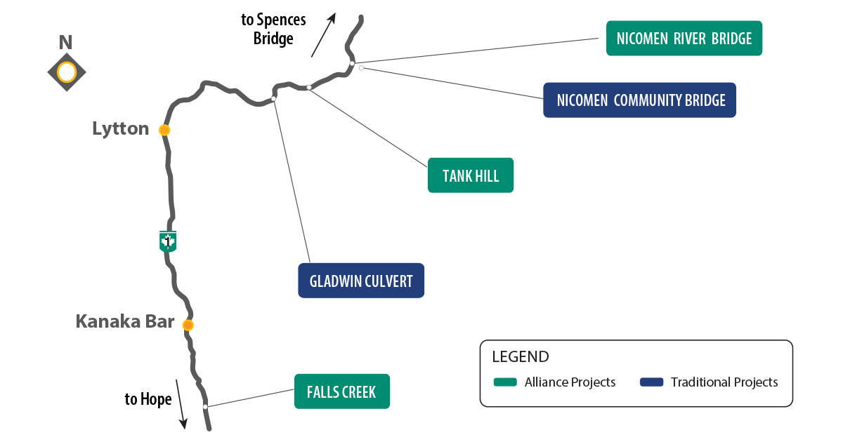
Location
Hope to Spences Bridge.
Event description
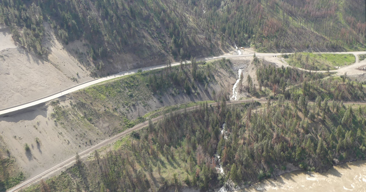
Highway 1 through the Fraser-Thompson Corridor closed between Spences Bridge to Hope on November 14, 2021, due to damage caused by heavy rains.
More than 150 workers using 80 pieces of equipment moved more than 150,000 cubic metres of gravel, rock and other material to repair and reopen Highway 1 to vehicle traffic on January 14, 2022, (Lytton to Spences Bridge), and January 24, 2022 (Lytton to Boston Bar).
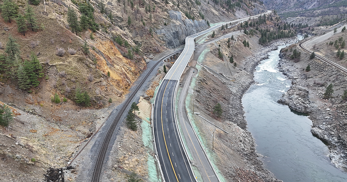
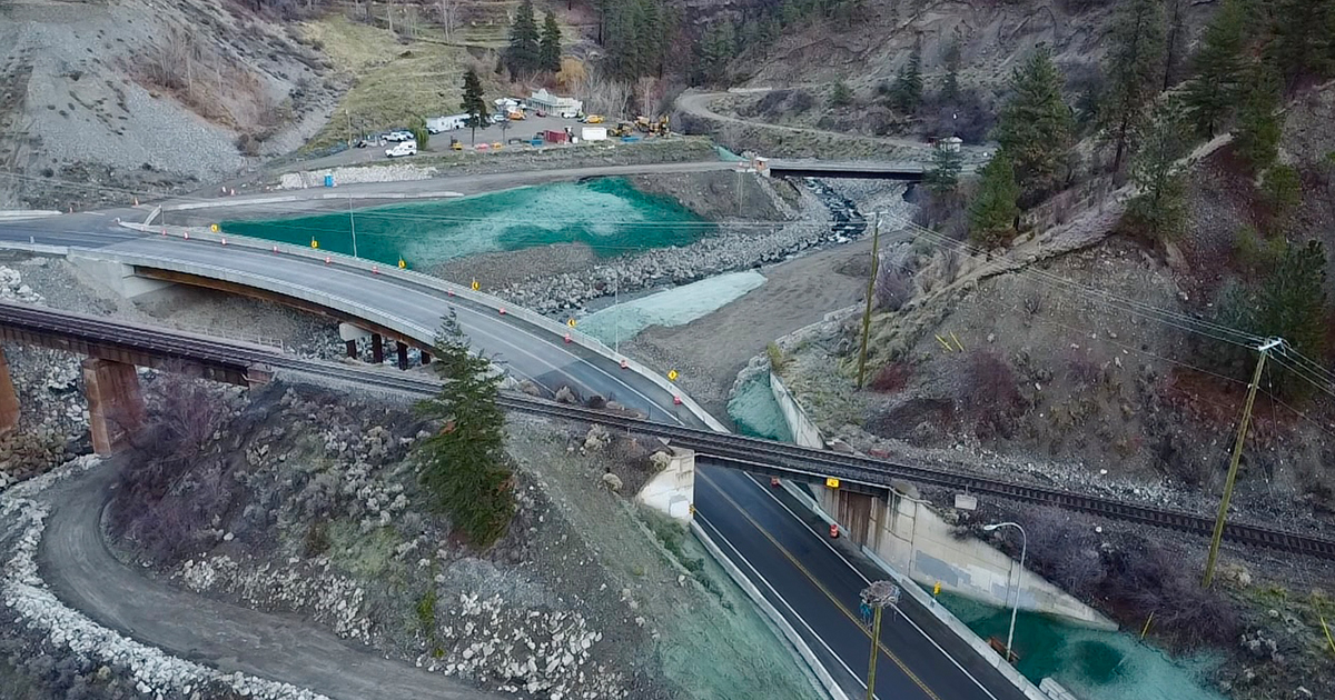
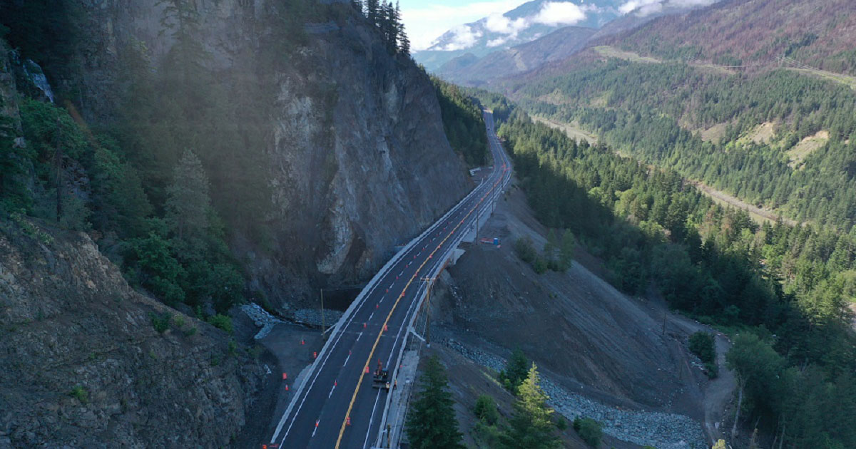
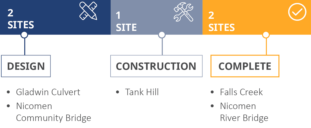
There were 18 sites affected on Highway 1 between Hope and Spences Bridge, including four that required extensive temporary repairs to reopen. Nicomen River Bridge, Tank Hill, Gladwin Culvert and False Creek. Permanent repairs to Nicomen River Bridge and False Creek were completed in 2024. Permanent repairs to Tank Hill were completed in 2025, and permanent repairs at Gladwin Culvert are anticipated to be complete in 2026.
Status
Projects are in progress to provide permanent repairs to the highway infrastructure at one location.
The Highway 1 Fraser - Thompson Flood Recovery Project is underway and may create travel delays throughout the corridor.
Read the community newsletter for detailed updates:
Nicomen River Bridge
Nicomen River Bridge is located 19 km south of Spences Bridge.
Status: Complete
Falls Creek (Jackass Mountain)
The Falls Creek project is located 20 km south of Lytton.
Status: Complete
Photo Gallery
Archive
News
Community Newsletter
Contact information
Friendly Url for this Page:
gov.bc.ca/Highway1FraserThompson
For more information contact:
Thompson-Nicola District
1-877-478-0648
hrphwy1.info@gov.bc.ca
apply@hwy1jobs.com
Subscribe
Enter your email address to subscribe to updates of this page.

