
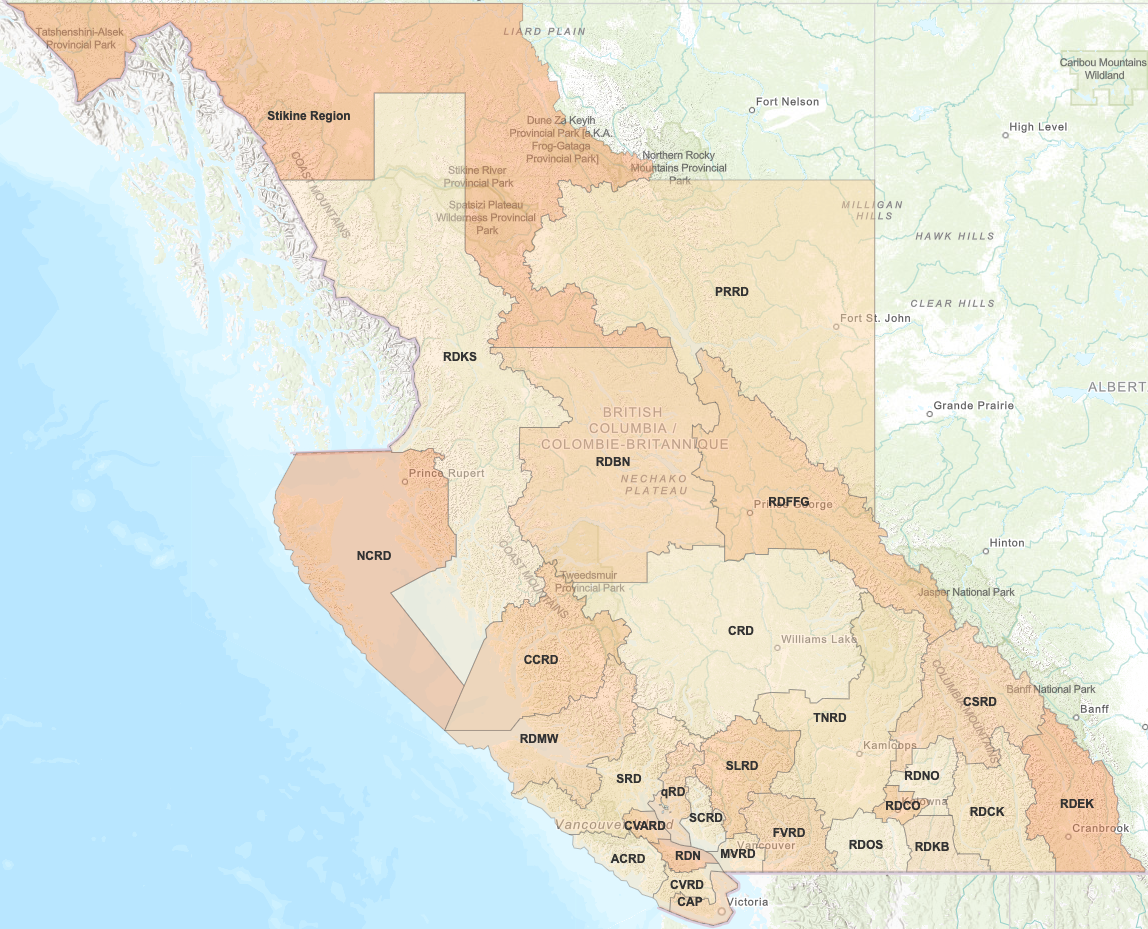
Regional District Illustrative Maps
These regional district maps are for illustrative purposes to communicate population centres and spatial relationships between regional district members. In general, the maps reflect 2016 Census geographies and do not show unpopulated places. The maps are not legal representations or an exhaustive list of places in B.C.
Each map illustrates the regional district, electoral area and municipal boundaries, and includes Indigenous communities, localities and designated places for context.
*Note: The Stikine Region is an unincorporated area and therefore not considered a regional district.
Interactive Local Government Maps
Related Links
Contact information
Contact us if you have questions about local government facts and framework.
Victoria Office
250 387-4020
250 387-4020
Toll Free
1 800 663-7867
1 800 663-7867
Address
Governance and Structure Branch
PO BOX 9839 STN PROV GOVT
Victoria, BC