
South Okanagan Wildlife Management Area
Date Designated: April 14, 1994
Purpose: Management of habitat primarily for ecosystems and species at risk.
Size: 903 hectares
Region: Thompson/Okanagan
Nature and culture
Fish and Wildlife: Species and ecosystems values in this WMA are of high provincial significance and provide habitat for Behr’s Hairstreak Butterfly, Lewis’ Woodpecker, Yellow-breasted Chat, Bobolink, Lark Sparrow, Gopher Snake, Racer, Painted Turtle, Spotted and Pallid Bats, Fringed Myotis and Nuttall’s Cottontail. Many rare birds may be seen in migration throughout the WMA and it is one of the few places in the Okanagan River system where Sockeye Salmon still spawn. In addition, there are numerous examples of invertebrates that are known in Canada only from this locality.
Physiography, Climate and Vegetation: Dominated by the hot, dry summers of the South Okanagan, this WMA is comprised of sandy glacial outwash deposits and dry benchlands, with globally imperiled antelope-brush, riparian woodlands, marshes and ponds. The WMA is made up of a core area and numerous discrete parcels of land – particularly isolated relict river oxbows. The larger portion is located on the old floodplain of the Okanagan River. The floodplain contains water-filled oxbows – once cut off from the Okanagan River Flood Control Channel but reconnected by a weir constructed by Ducks Unlimited Canada – and flatlands dissected by numerous old in-filled oxbows in different successional stages.
Planning and management
Information on management direction and possible restrictions on visitor activities are available from the Conservation Lands regional contacts.
Image


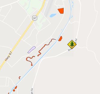
The South Okanagan WMA is located north of Osoyoos between Vaseux Lake and Osoyoos Lake.