Pemberton Wetlands Wildlife Management Area
Date Designated: December 7, 2011
Purpose: Management of critical marsh habitat for waterfowl, fish and ungulate winter range.
Size: 753 hectares
Region: South Coast
Nature and culture
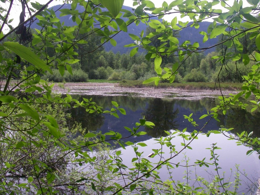
Fish and Wildlife: Blacktail Deer use the upland areas of the WMA for winter and spring habitat. Moose inhabit some of the wetlands and lower elevation areas in the winter. Black Bear, coyotes, mountain lions, Spotted Skunk, Longtail Weasel, Marten, Mink, Beaver and River Otter also frequent the area. The WMA also provides valuable habitat for regionally important bird species, including the endangered Spotted Owl, and threatened Turkey Vulture, Short-eared Owl, American Bittern, Green-backed Heron and Surf Scoter. Songbirds and Trumpeter Swan, Ring-necked Duck, Hooded Merganser and other waterfowl find habitat here, along with various species of amphibians and reptiles, including the threatened Tailed Frog. The Lillooet River system also supports many fish species, such as Pink, Coho, Chinook, Chum and Sockeye/Kokanee Salmon, plus Rainbow, Cutthroat and other trout.
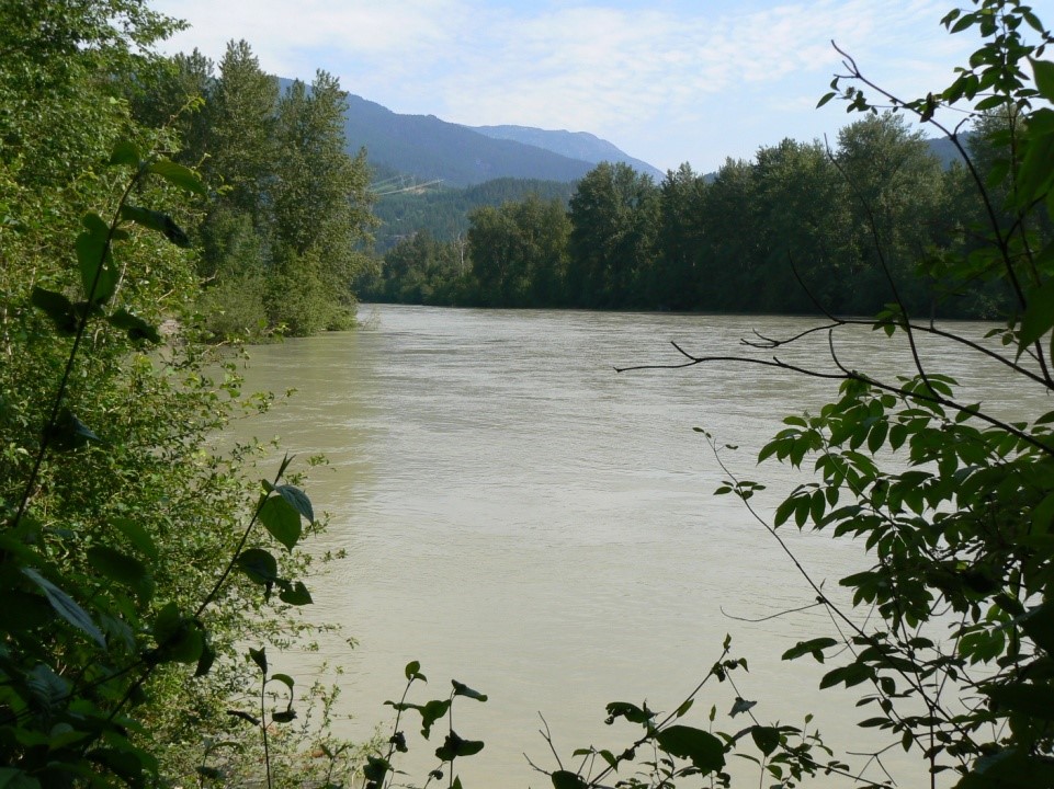
Physiography, Climate and Vegetation: The upper Lillooet River valley forms part of a major intermontane valley in the Eastern Pacific Ranges ecosection. It lies at approximately 250 metres above sea level, while the surrounding peaks surpass 2,500 metres. The climate in the valley is transitional, influenced by both coastal and interior conditions, and is characterized by warm, dry summers and moist, cool winters with moderate snowfall. Most soils on the valley bottom are gravels, sands and sandy loams, with gravel and boulder fluvial fans deposited at the confluences of tributaries. There are many threatened or endangered species of vegetation in the WMA. The wetlands are characterized by forests of Douglas Fir, Western Hemlock, and Western Red Cedar; typical plant communities in the moist to wet soils include Queen’s Cup, Devil’s Club, Lodgepole Pine, Sphagnum, Sitka Spruce and Skunk Cabbage; the floodplain hosts Salmonberry, Black Cottonwood, and Red-osier Dogwood.
Planning and management
Information on management direction and possible restrictions on visitor activities are available from the Conservation Lands regional contacts.
Pemberton Wetlands
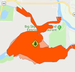
The Pemberton Wetlands WMA lies on the upper Lillooet River floodplain in the Pemberton Valley, between the north end of Lillooet Lake and the confluence of the Lillooet River and Mowich Creek.


