
Okanagan-Shuswap Land & Resource Management Plan
The Okanagan-Shuswap Land and Resource Management Plan (LRMP) covers approximately 2.5 million hectares. The Okanagan-Shuswap LRMP provides direction for the management of the Crown land and resources within the plan area. The planning process was initiated in 1995 and completed in 2000. The plan was approved by government in 2001.
The Okanagan-Shuswap LRMP was developed by over 30 public and government participants representing a wide range of values such as water, timber, wildlife, fisheries, mining, recreation, tourism, conservation and agriculture. First Nations expressed an interest in the process but chose not to participate. They were kept informed about the process on an ongoing basis through a dedicated liaison position, as well as through the provision of meeting summaries and other planning material.
Participants clearly articulated their vision for a balanced land use strategy. The plan includes management direction that applies across the entire plan area (general management), resource management zones (RMZs) where integrated resource management is practiced based on objectives and strategies specific to that resource management zone, as well as almost fifty new protected areas.
Legal Direction
- Order Establishing Objectives in Okanagan-Shuswap LRMP Area - 2007 (PDF)
- Map 1 - Enhanced Levels of Coarse Woody Debris Area (PDF, 2MB)
- Map 2 – Basic and Enhanced Levels of Coarse Woody Debris Area (PDF)
- Map 3 - Intensive Recreation Areas (PDF)
- Map 4 - Regionally Significant Trail Corridors (PDF)
- Map 5 - Tourism Areas (PDF)
- Map 6 - Elk Areas (PDF)
- Map 7 - Marten Areas (PDF)
- Map 8 - Fisher Areas (PDF)
- Map 9 – Bighorn Sheep Area (PDF)
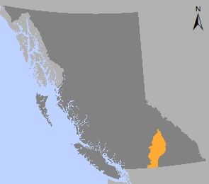
- Map 10 - Okanagan - Shuswap LRMP Area (PDF)
- Order Establishing Provincial Non-Spatial Old Growth Objectives - 2004 (PDF)
Implementation & Monitoring Direction
Plan Type: Land and Resource Management Plan
Plan Status: Approved, legally established
Plan Area: 2,449,164 hectares
Natural Resource Region: Thompson/Okanagan
Natural Resource District: Okanagan Shuswap
Timber Supply Area: Okanagan
Contact information
Contact us if you have questions about land and resource management in the Thompson / Okanagan region.
TOR.LUP@gov.bc.ca