
Vanderhoof Land & Resource Management Plan
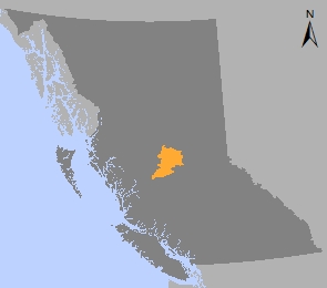
The Vanderhoof Land and Resource Management Plan (LRMP) is a consensus-based strategic land use plan for the management of specific values within a13,800 square kilometre plan area. The plan was built through participation by the public, local industry and government resource agencies and approved in 1997.
The Vanderhoof LRMP resulted in:
- Stability for all resource-based industries such as tourism and forestry
- Six Protected Areas
- An improved outlook for tourism and wildlife – particularly grizzly bear and woodland caribou.
The Vanderhoof LRMP divides a 1.38 million hectare land base into 20 resource management zones (RMZ) based on five different categories:
- Settlement / agriculture emphasis (14% of plan area)
- Resource development emphasis (56% of plan area)
- Multi-value emphasis (17% of plan area)
- Special management emphasis (4% of plan area)
- Protected area (6% of plan area)
Learn more about sustainable resource management planning in the Vanderhoof area:
Plan & Plan Maps
Decision Support Reports
Plan Type: Land and Resource Management Plan
Plan Status: Cabinet approved, legally established, non-legal policy plan
Plan Area: 1,387,973 hectares
Natural Resource Region: Omineca
Natural Resource District: Vanderhoof
Timber Supply Area: Prince George
Spatial Data
Related Links
Contact information
Contact FrontCounter BC for more information about land and resource management planning in the Vanderhoof area.
250 561-3479