
Fort St. James Land & Resource Management Plan
The Fort St. James Land and Resource Management Plan (LRMP) is a consensus-based plan (established in 1999) that provides policy direction for the management of resources and values in the Fort St. James area.
The Fort St. James LRMP divides a 3.174 million hectare landbase into 36 resource management zones (RMZs) in five categories:
- Settlement / agriculture
- Resource development
- Multi-value
- Special management
- Protected
Some of the highlights of the Fort St. James LRMP include:
- The establishment of new provincial parks and protected areas
- Lower risk to caribou, grizzly and fisheries values based on a local vision for how the landbase should be managed
Learn more about sustainable resource management planning in the Fort St. James area.
Plan & Plan Maps
Decision Support Reports
Plan Type: Land and Resource Management Plan
Plan Status: Consensus-based, Cabinet-approved, non-legal policy plan
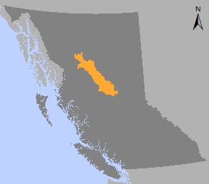
Plan Area: 3,180,877 hectares
Natural Resource Region: Omineca
Natural Resource District: Fort St James
Timber Supply Area: Prince George
Spatial Data
Related Links
Contact information
Contact FrontCounter BC for more information about sustainable resource management planning in the Fort St. James area.
250 561-3479