
Vedder River and Canal

Area: Yarrow - Chilliwack
The atmospheric river event (ARE) resulted in large accumulations of sediment deposition along the Vedder Canal and River. Recovery works involve the removal of this sediment to improve river flow and repair riverbanks from the ARE.
The Vedder River is located about 80km east of Vancouver in the City of Chilliwack. This watercourse, generally referred to as the Chilliwack River, upstream of Vedder Crossing Bridge and the Vedder River between Vedder Canal and Vedder Crossing Bridge is a highly productive and diverse system that sustains wildlife populations and provides ecological and recreational value.
The ARE of November 2021 resulted in significant flows in the Chilliwack/Vedder River that added 440,000 meters of sediment into the Vedder River between Vedder Crossing and the Highway 1 Bridge.
The emergency removal of 35,000 m3 was completed by City of Chilliwack in 2022.

Project Details
Total Budget:
$13 Million
Projected Completion Date:
December 2024
Community & Taskforce Members
- Sumas First Nation
- City of Chilliwack
- City of Abbotsford
- Ministry of Environment and Climate Change Strategy
- Ministry of Emergency Management and Climate Readiness
- Kerr Wood Leidal
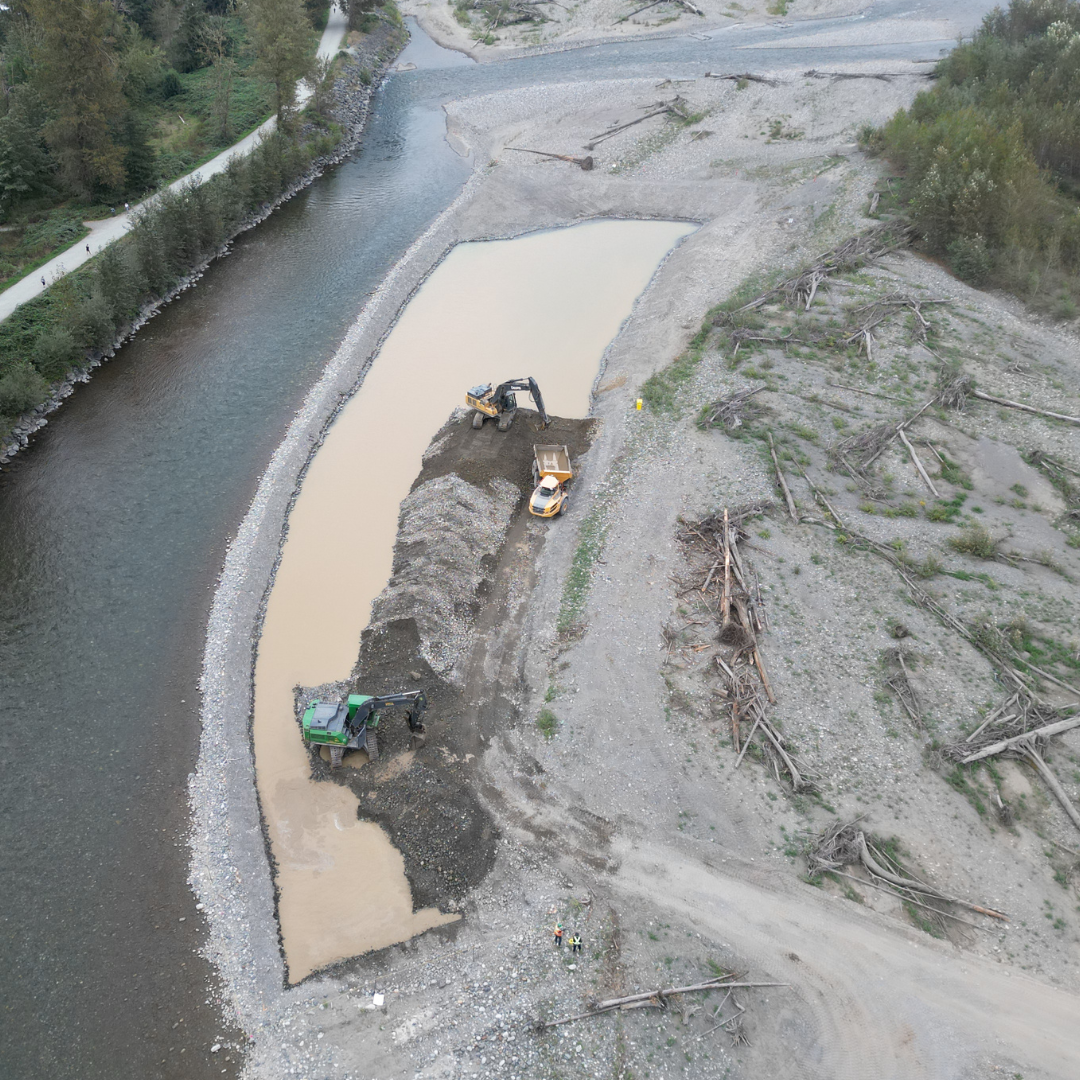
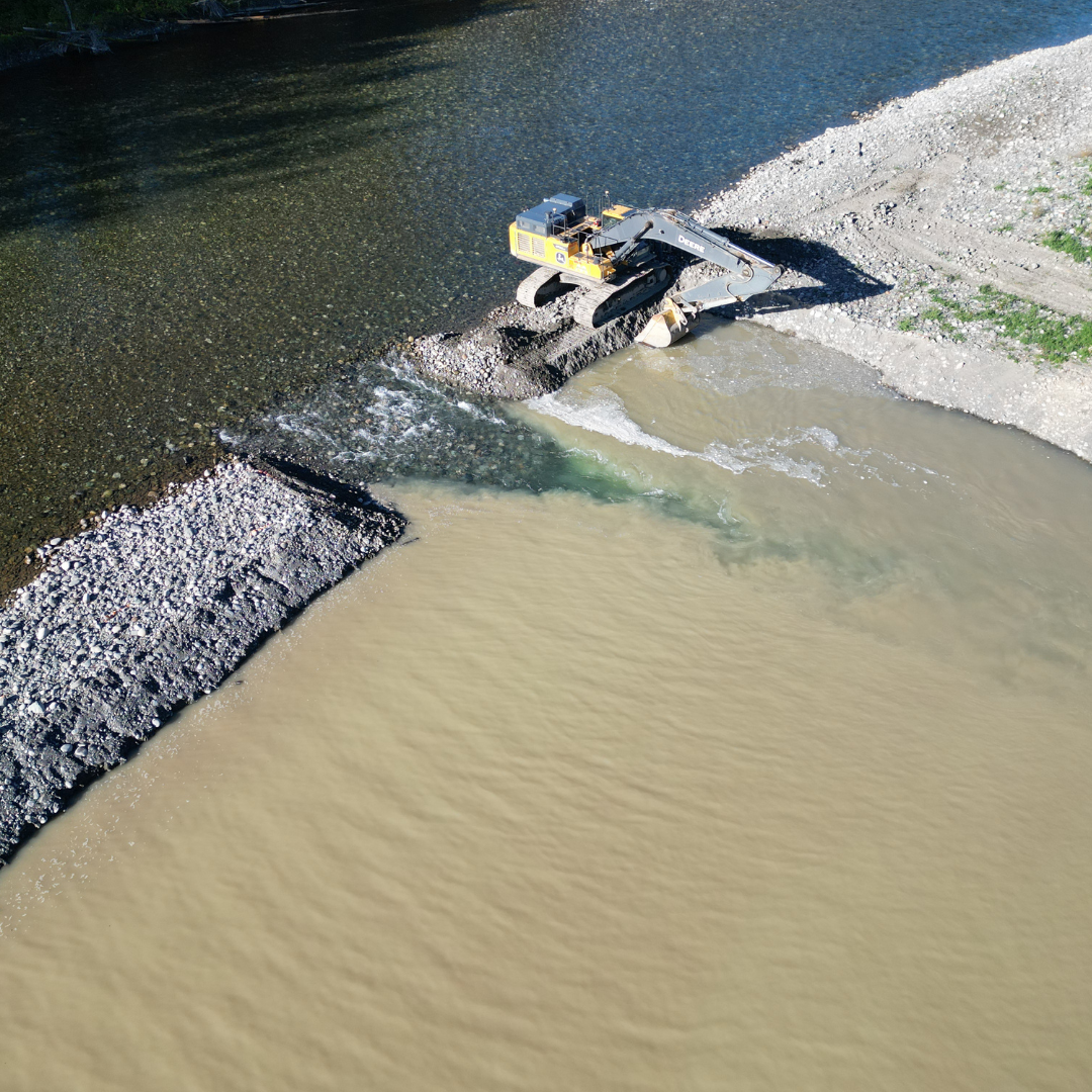
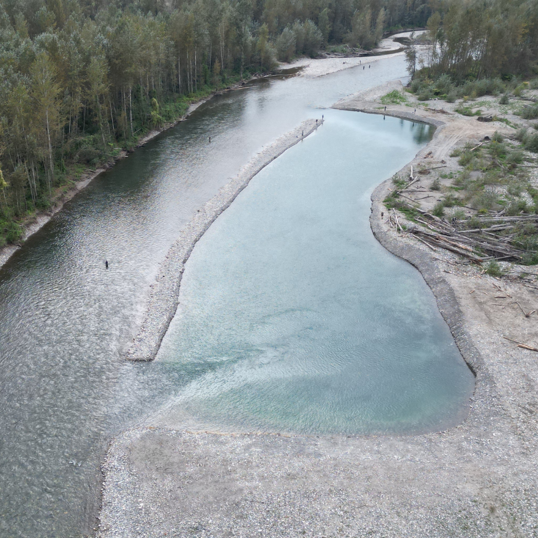
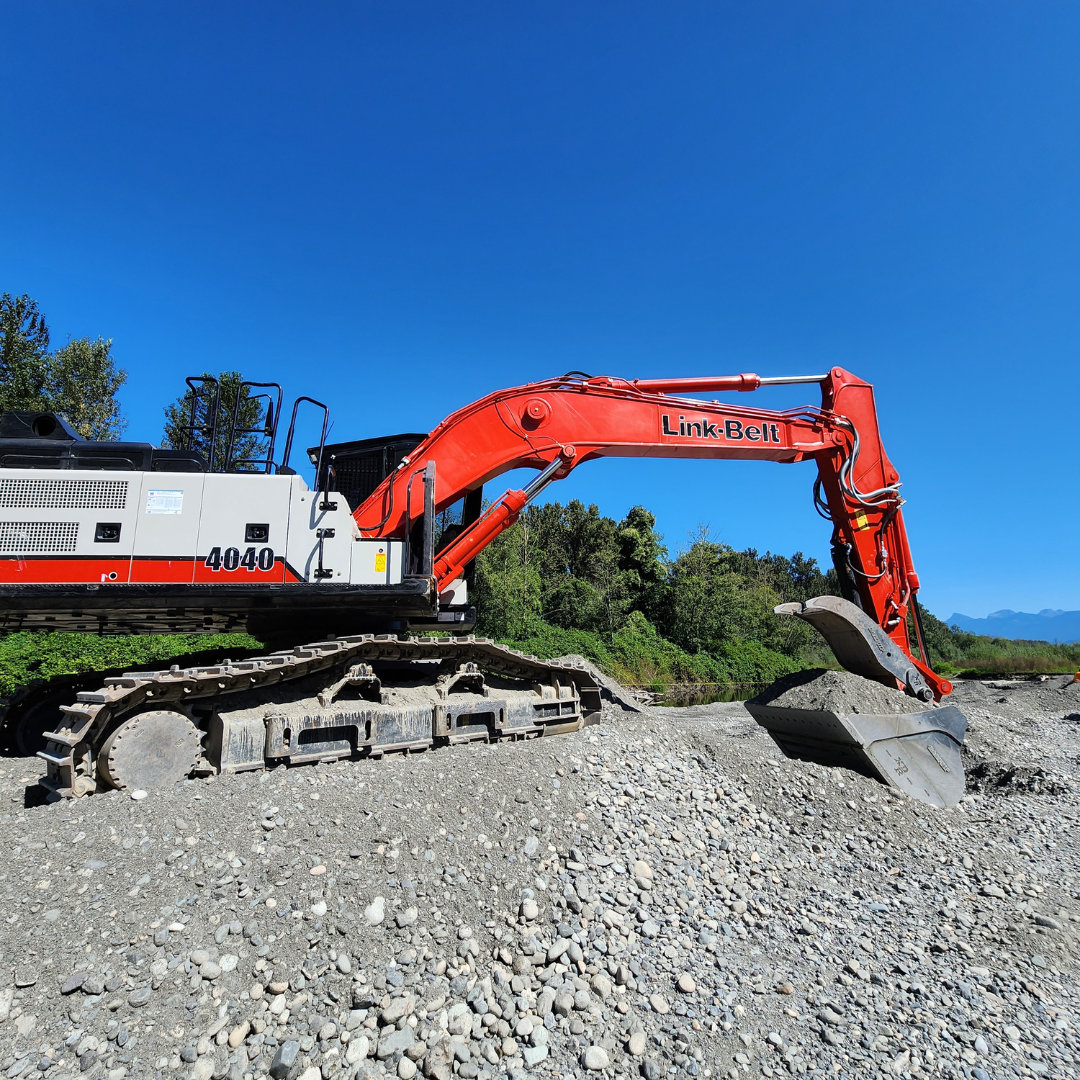
Sediment Bar Excavation
S45 Bar
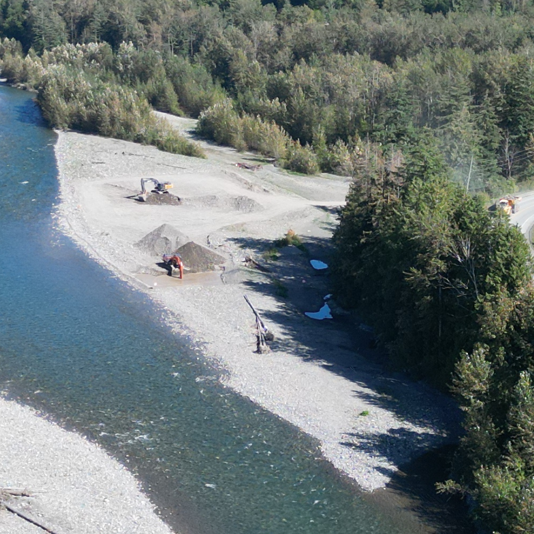 Above Image: Prior to excavation
 Above Image: During excavation
 Above Image: After excavation
Giesbrecht Bar
 Above Image: Prior to excavation
 Above Image: During excavation
 Above Image: After excavation
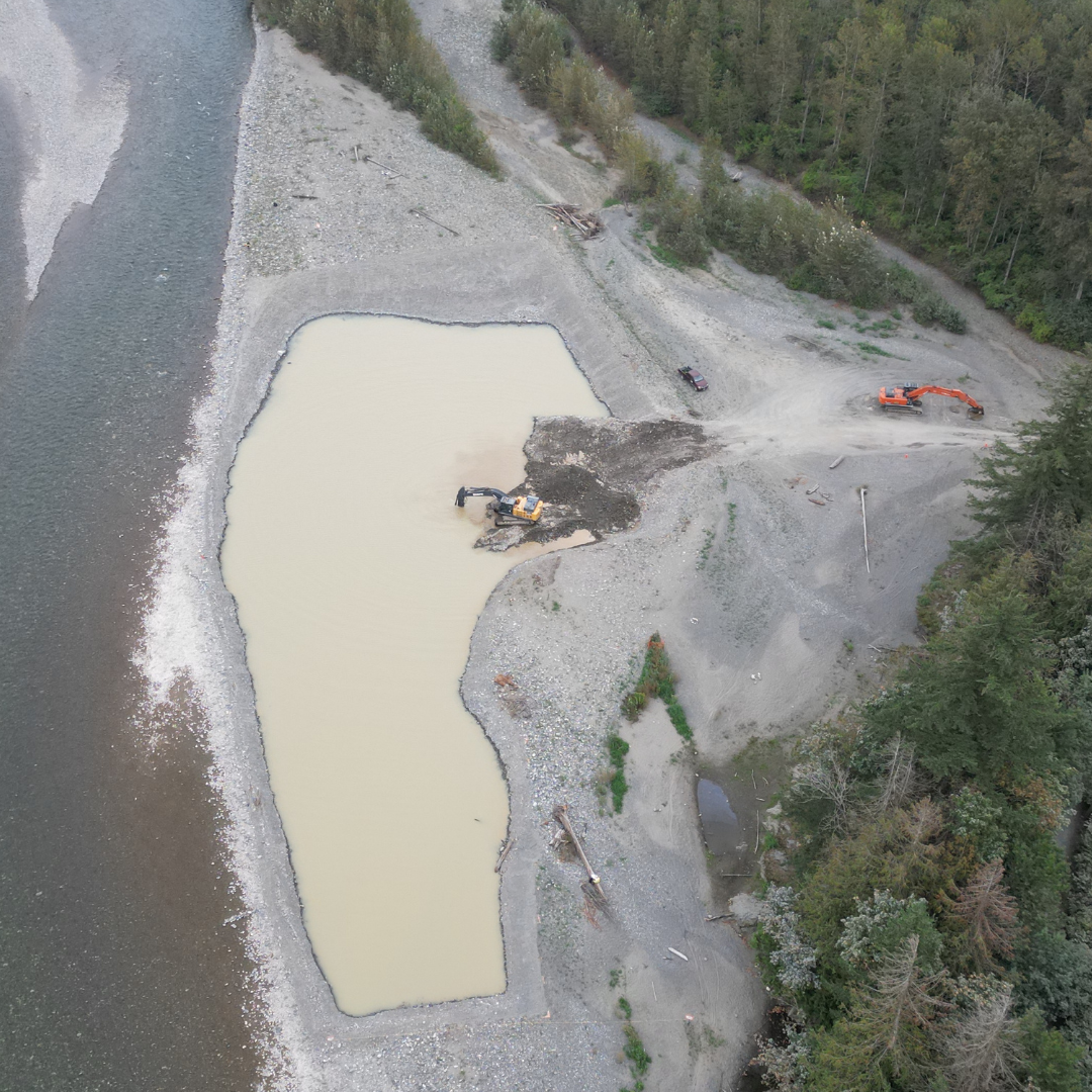
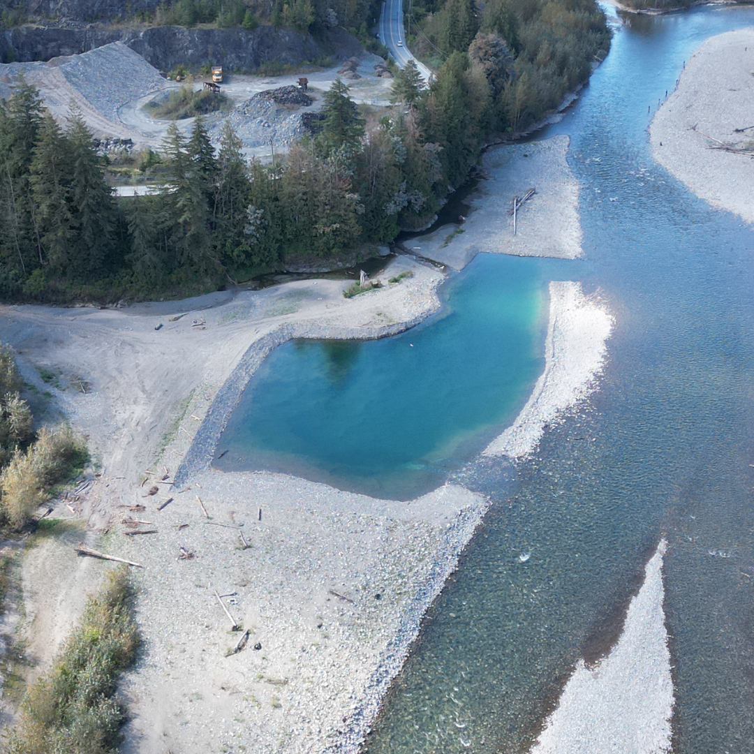
Peach Bars
 Above Image: Prior to excavation
 Above Image: During excavation
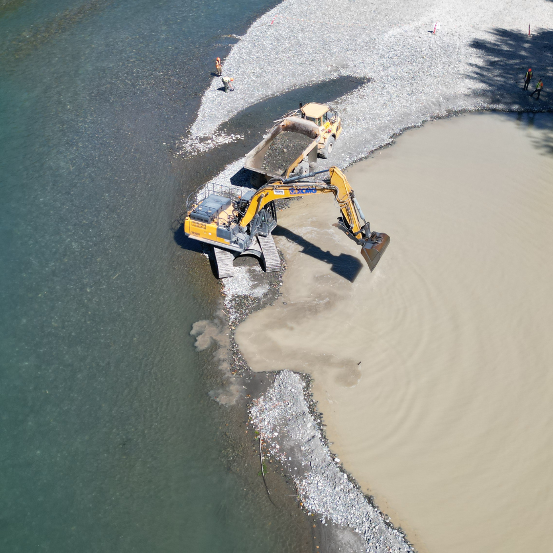
 Above Image: Opening excavation site Small openings are to enable a controlled release to maintain water flow at acceptable levels. The openings also enable fish not getting stranded inside the pit.
 Above Image: After excavation
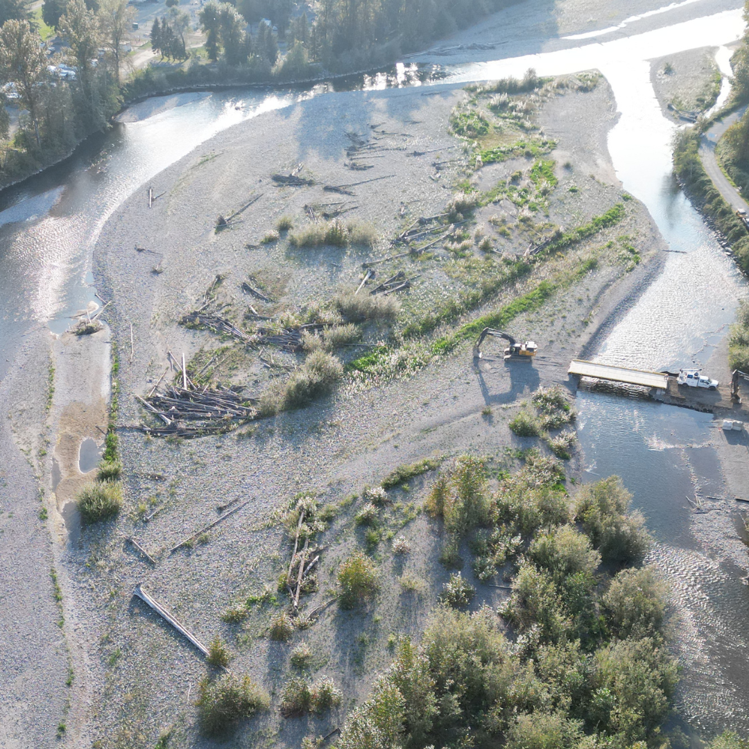
Lickman Bars
 Above Image: Prior to excavation
 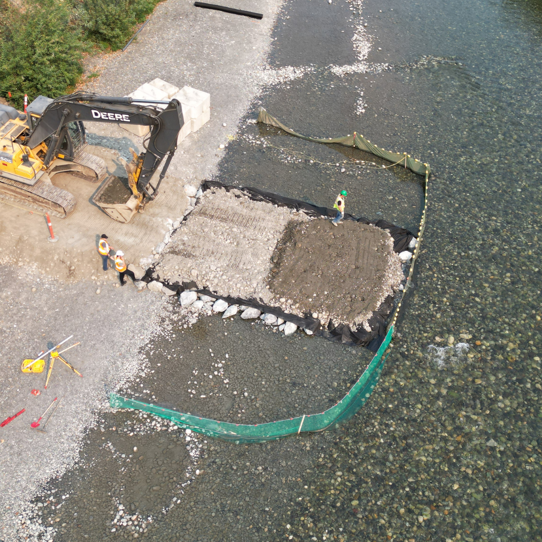 Above Image: Preparing bridge for access
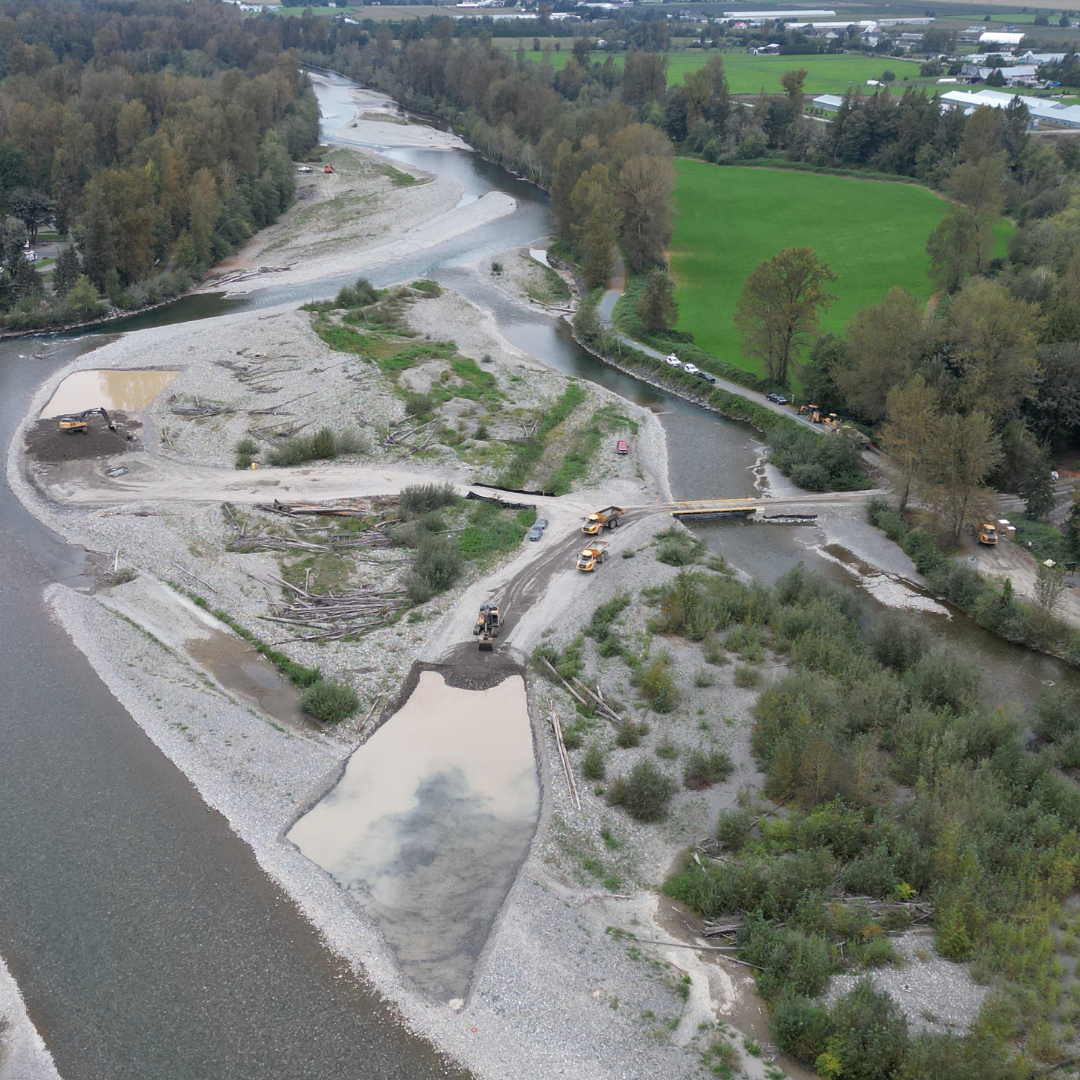 Above Image: During excavation
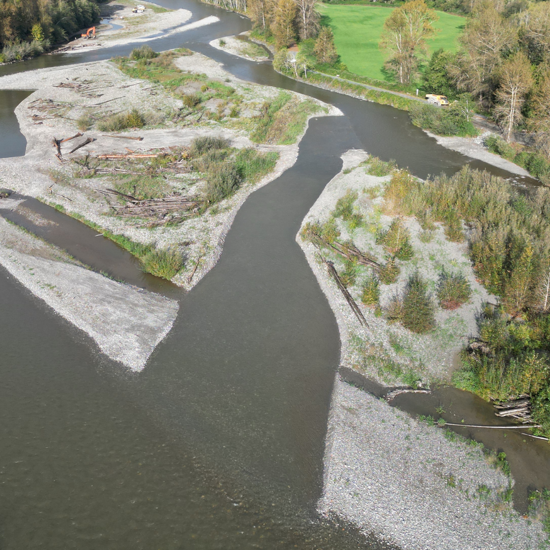 Above Image: After excavation
Campground Bar
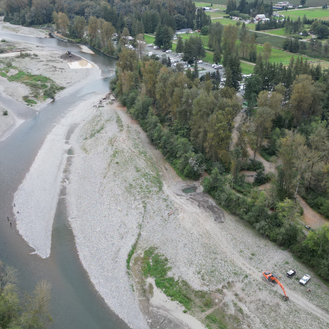 Above Image: Before excavation
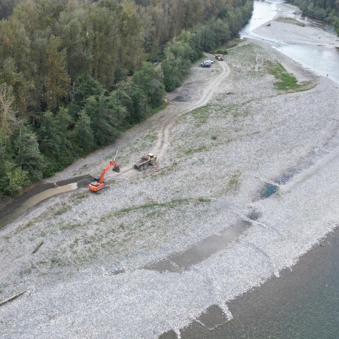 Above Image: During excavation
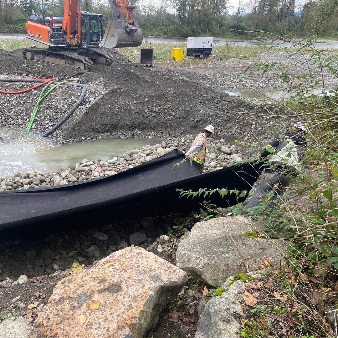 Above Image: Installing filter cloth
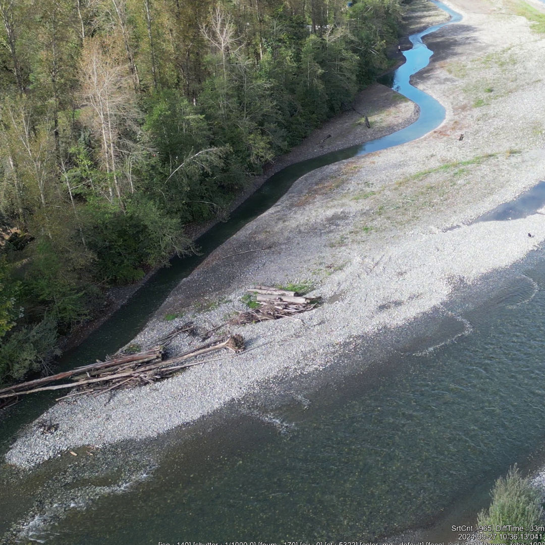 Above Image: After excavation
Brown Bars
 Above Image: Before excavation
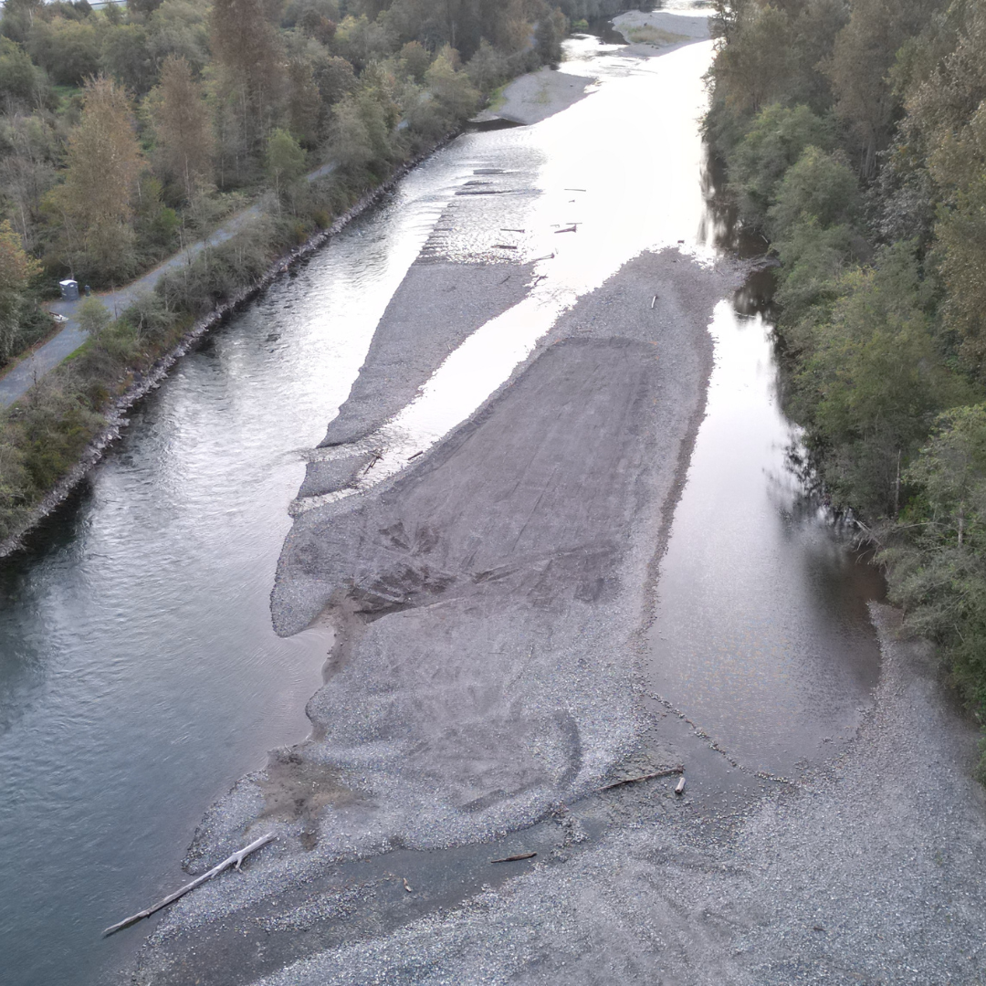 Above Image: During excavation
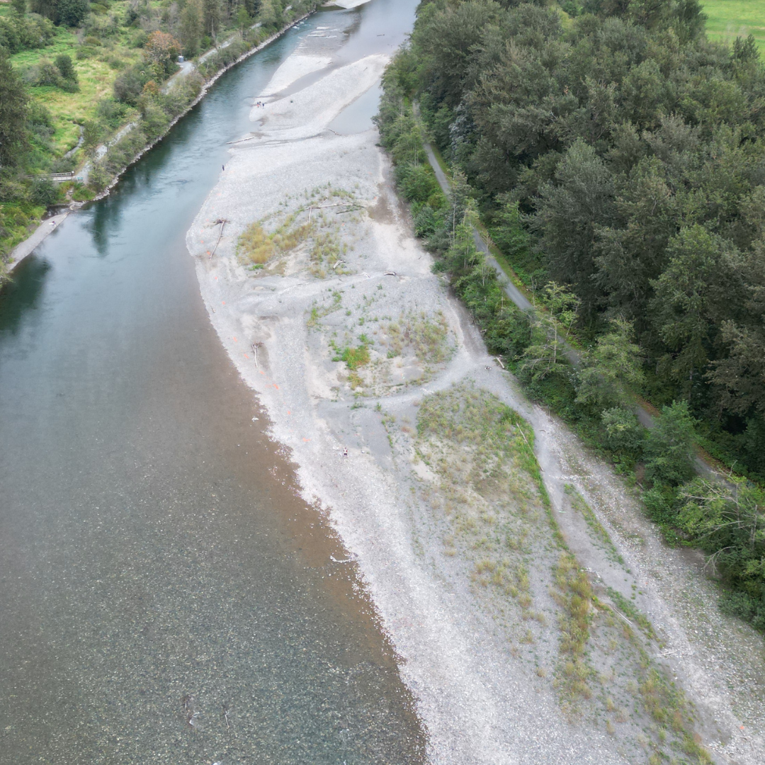 Above Image: Before excavation
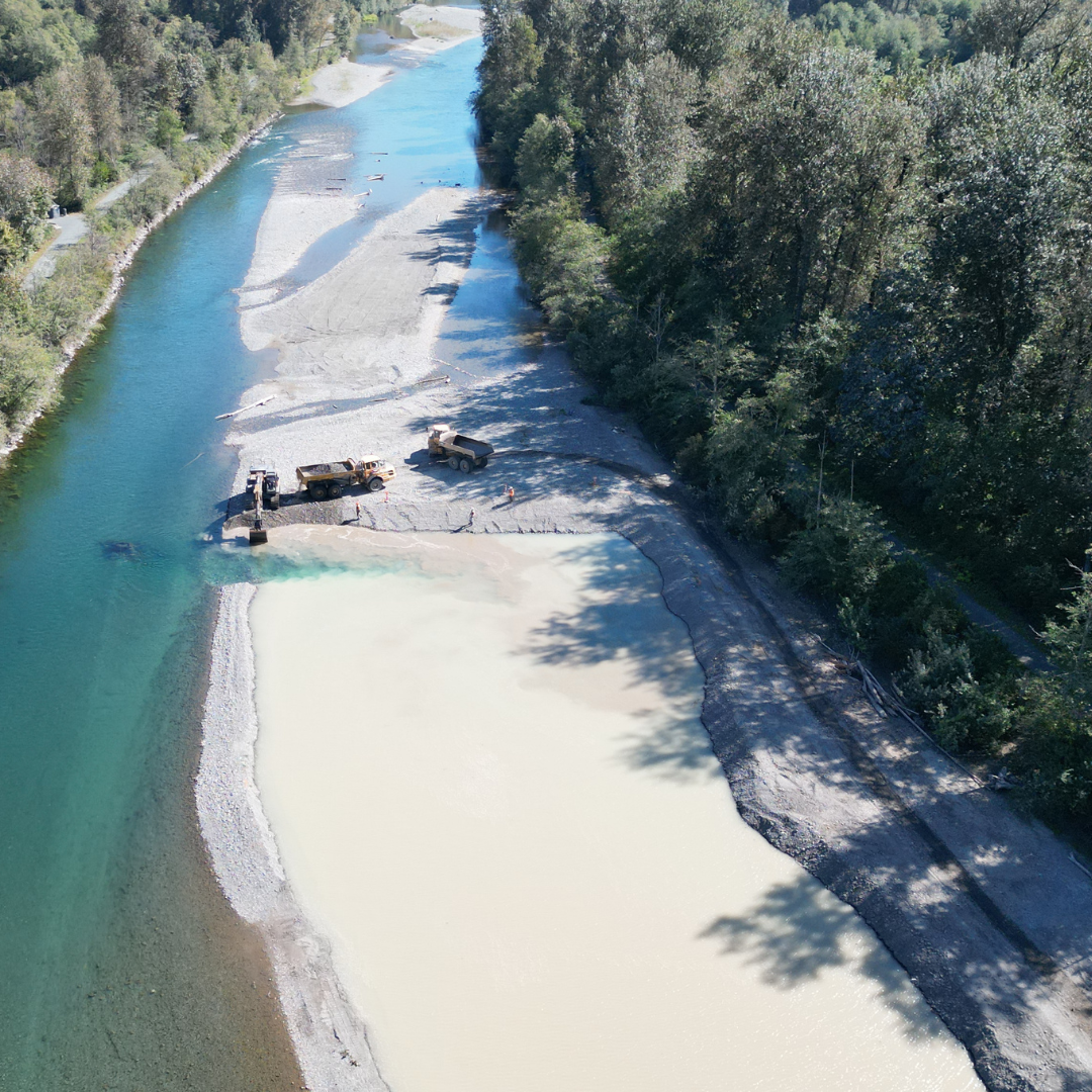 Above Image: During excavation
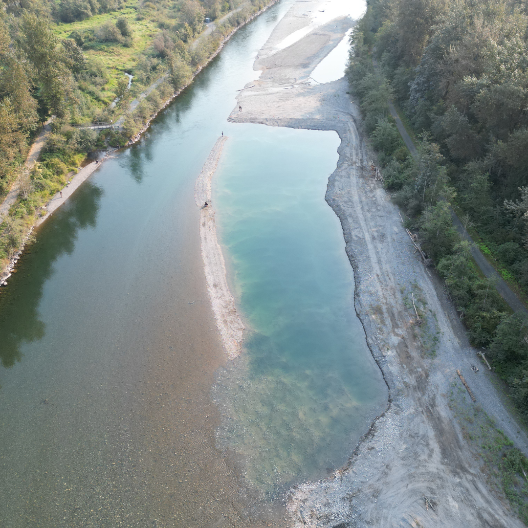 Above Image: After excavation
Bergman Bars
 Above Image: During excavation
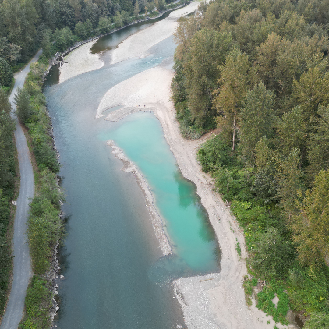 Above Image: After excavation
Railway Bars
 Above Image: Prior to excavation
 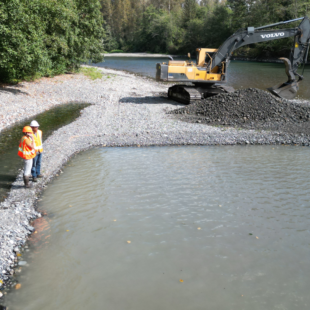 Above Image: During excavation
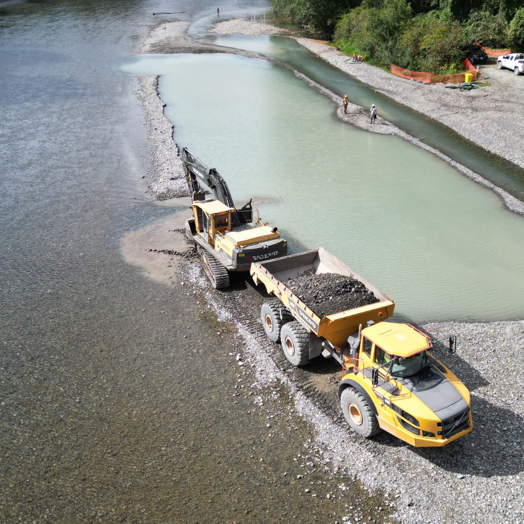 Above Image: Opening excavation site
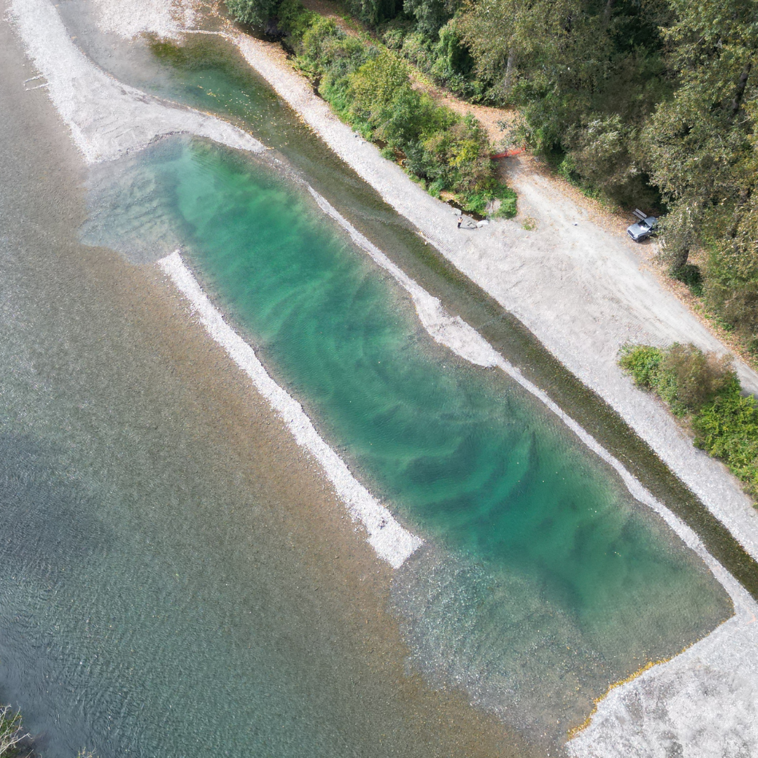 Above Image: After excavation
Greendale Bars
 Above Image: Prior to excavation
 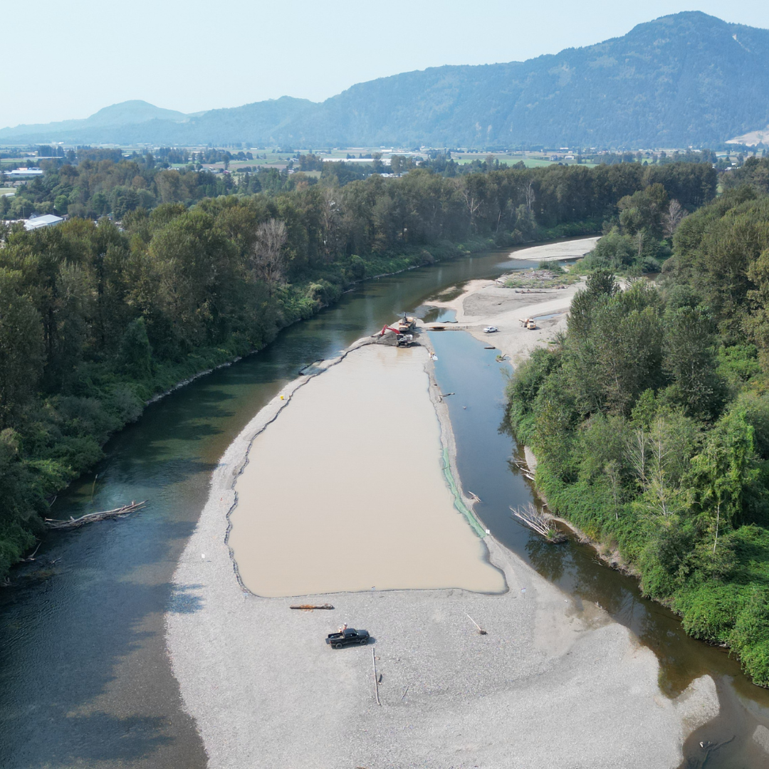 Above Image: During excavation
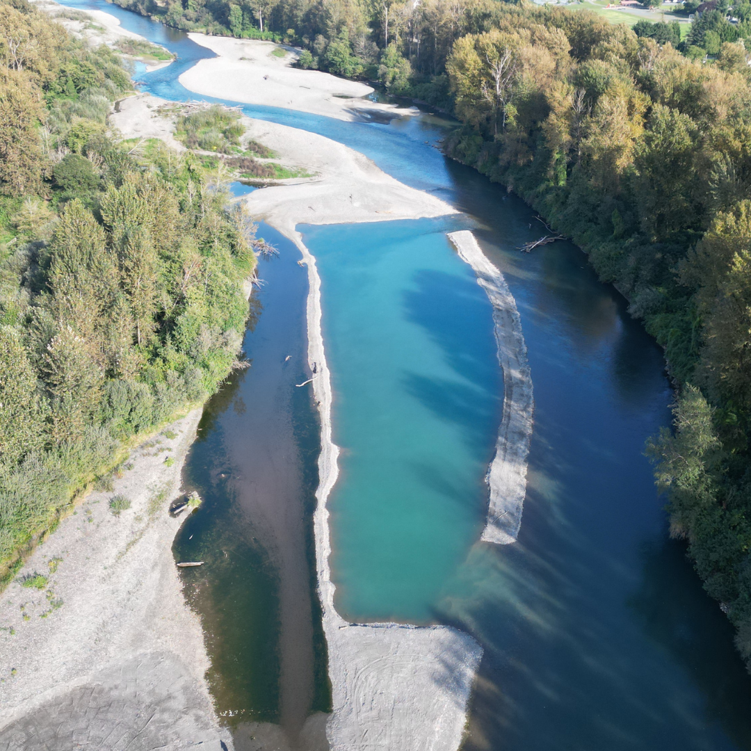 Above Image: After excavation
 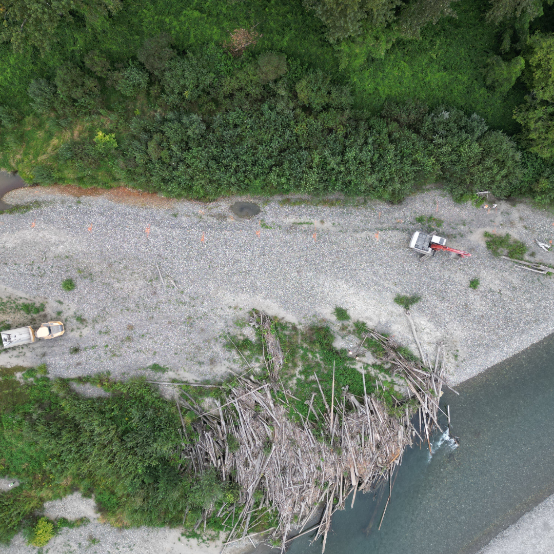 Above Image: Habitat area before excavation
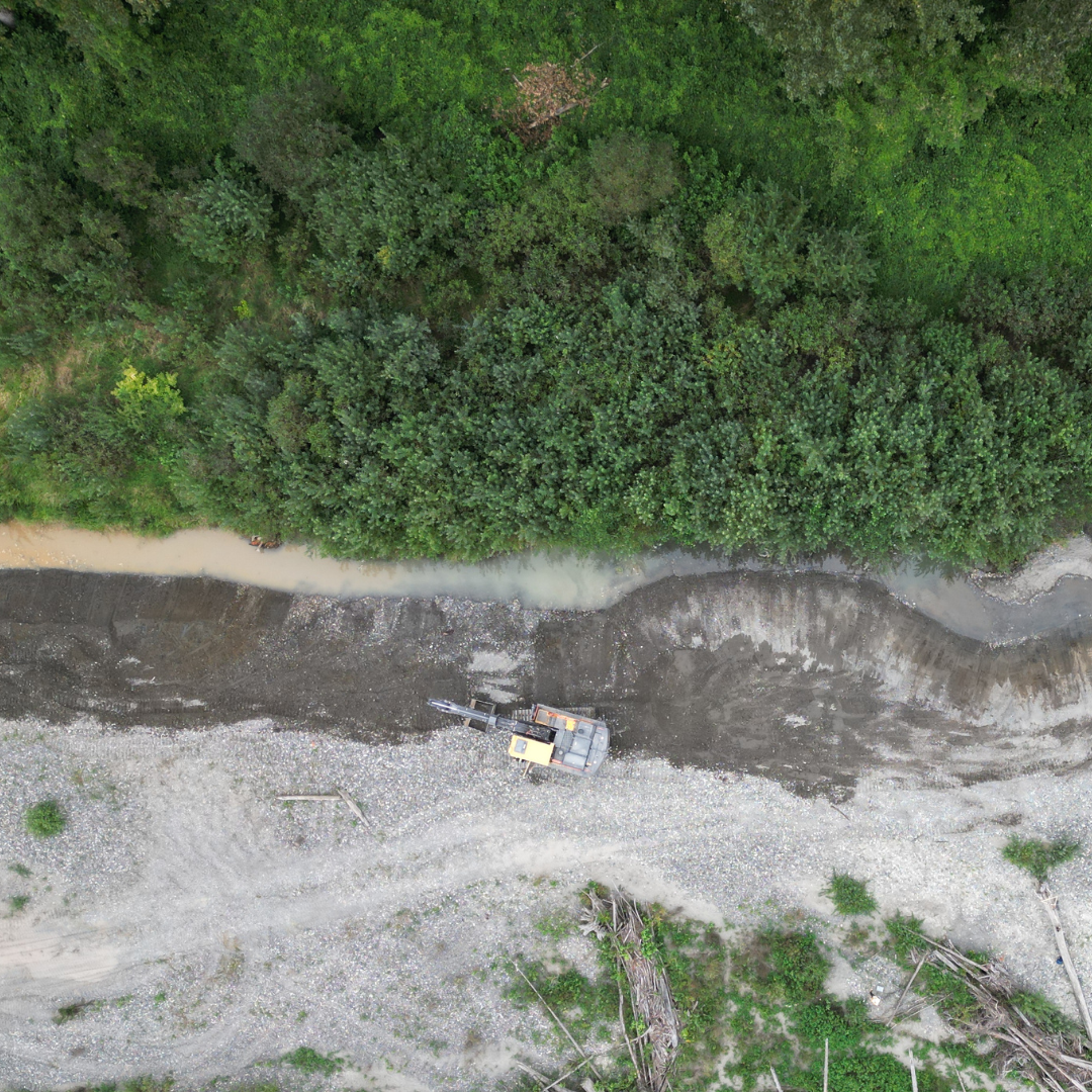 Above Image: Habitat area during excavation
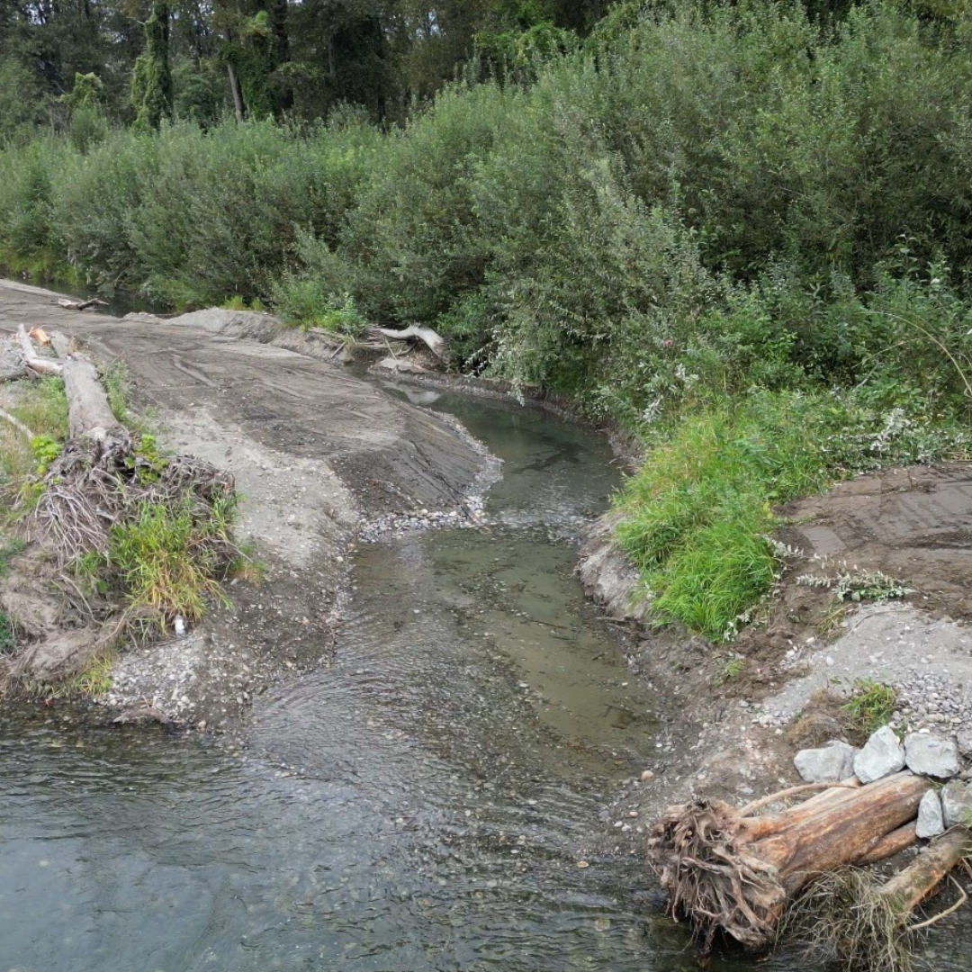 Above Image: Habitat area after excavation
Powerline Bar
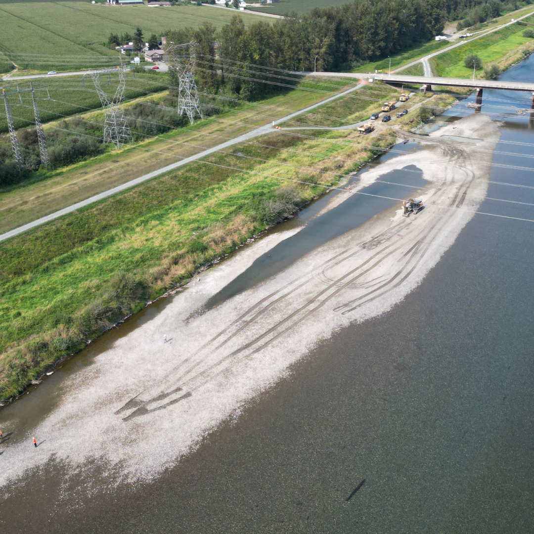 Above Image: Prior to excavation
 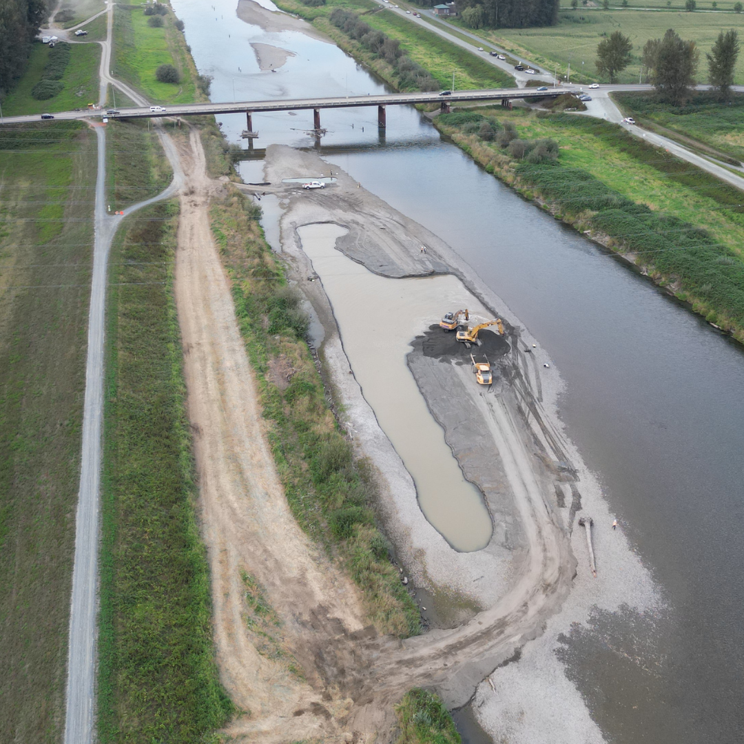 Above Image: During excavation
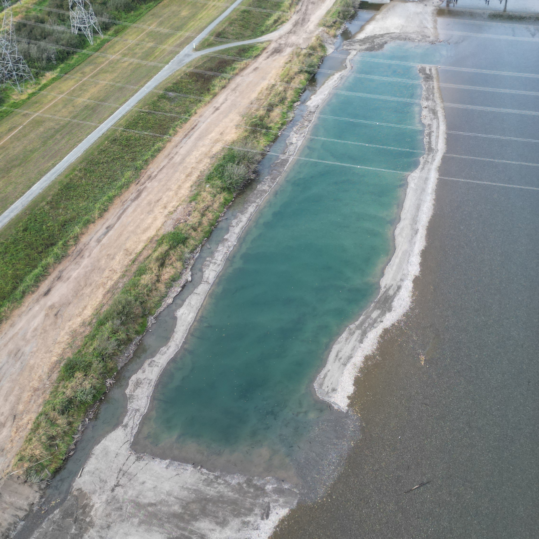 Above Image: After excavation
Chadsey Bar
 Above Image: Prior to excavation
 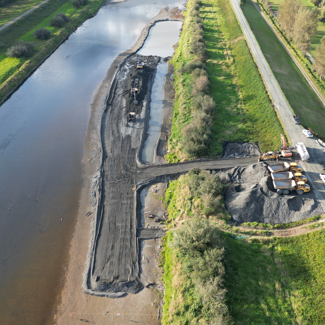 Above Image: During excavation
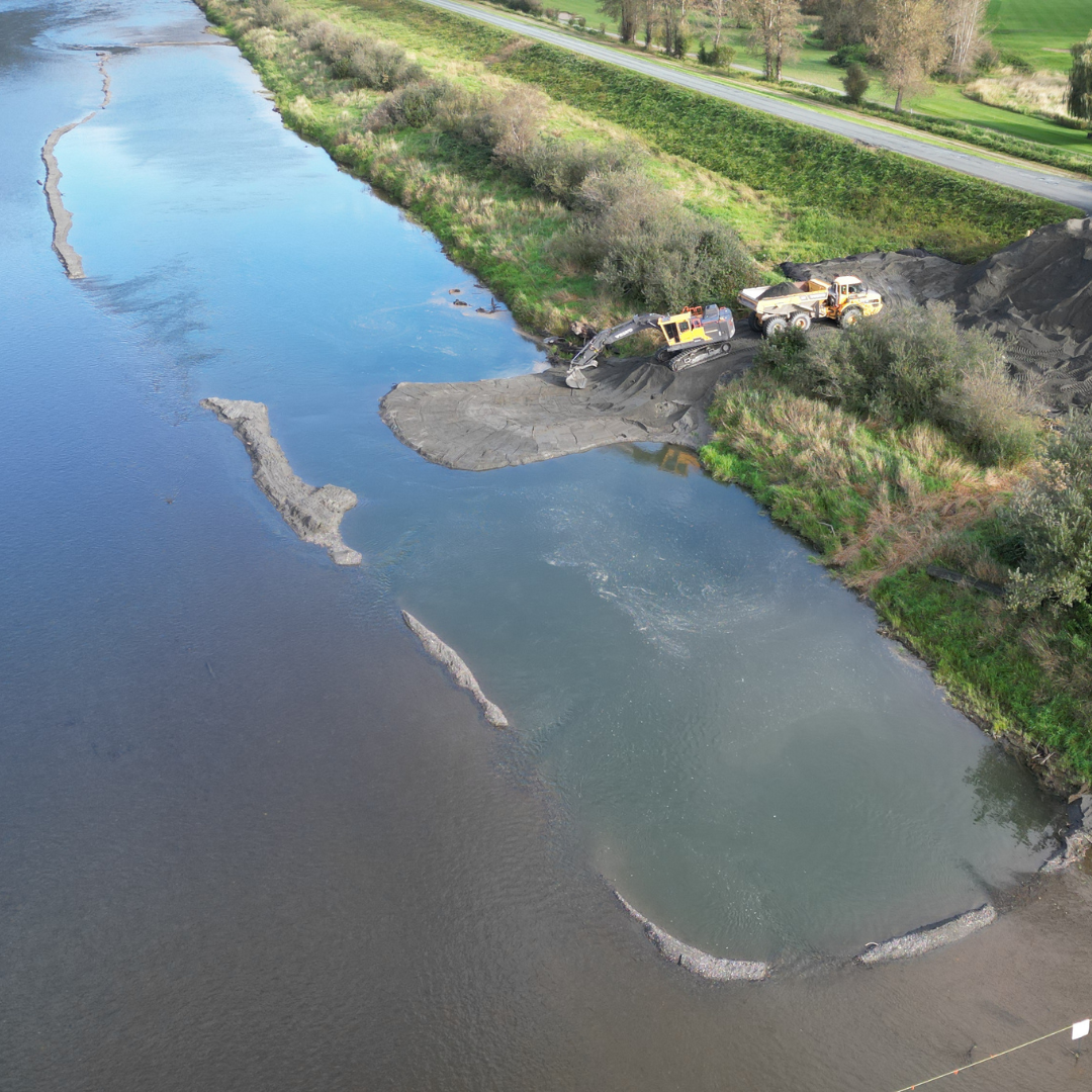 Above Image: Opening excavation site
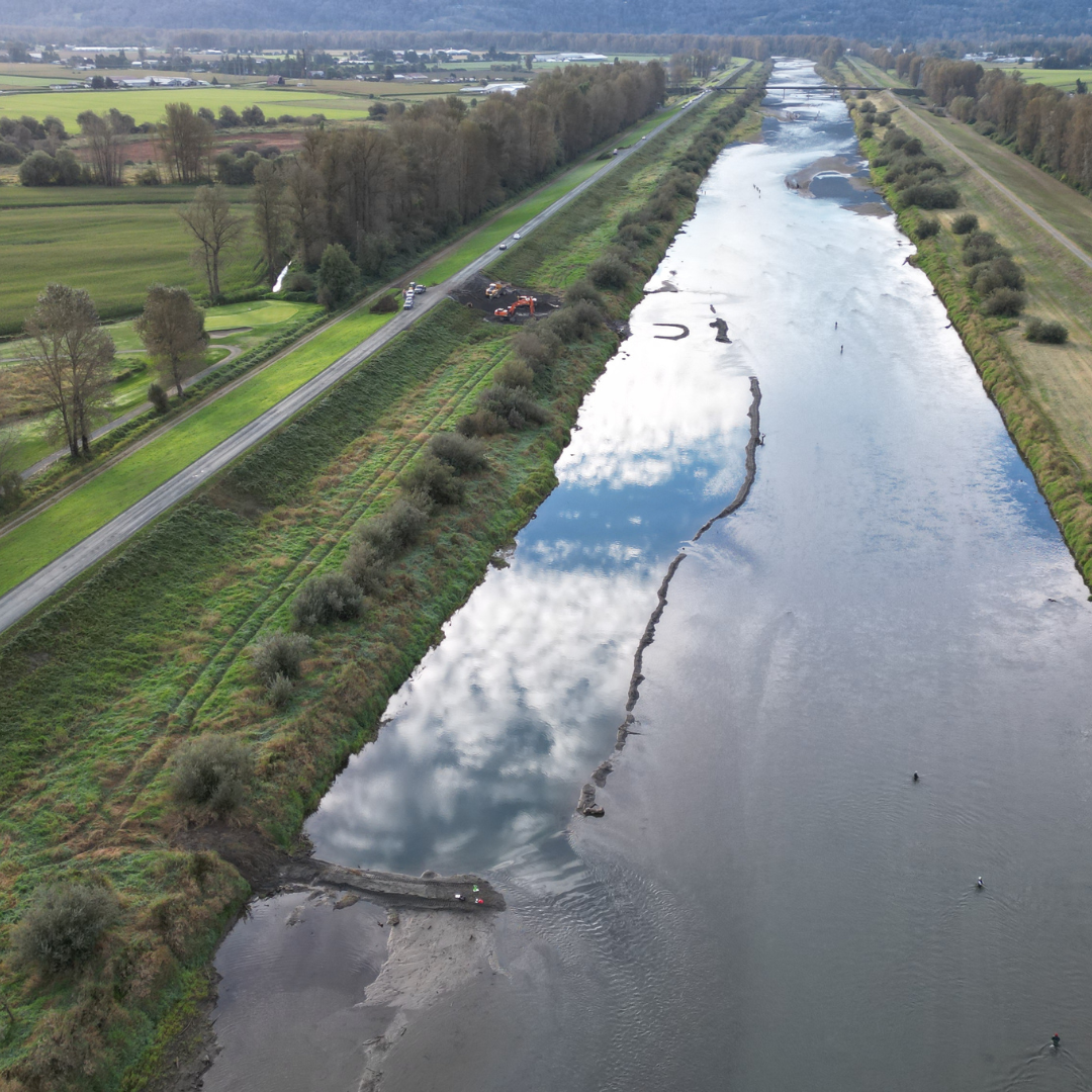 Above Image: After excavation
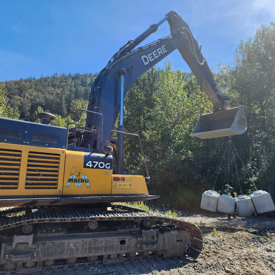
Images
 Building a bridge crossing. August 2024
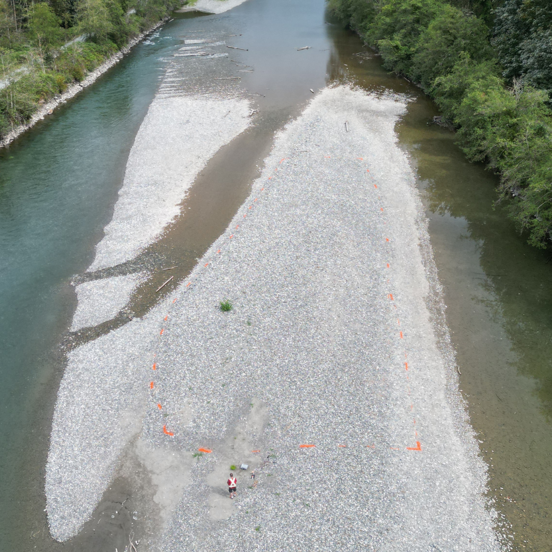
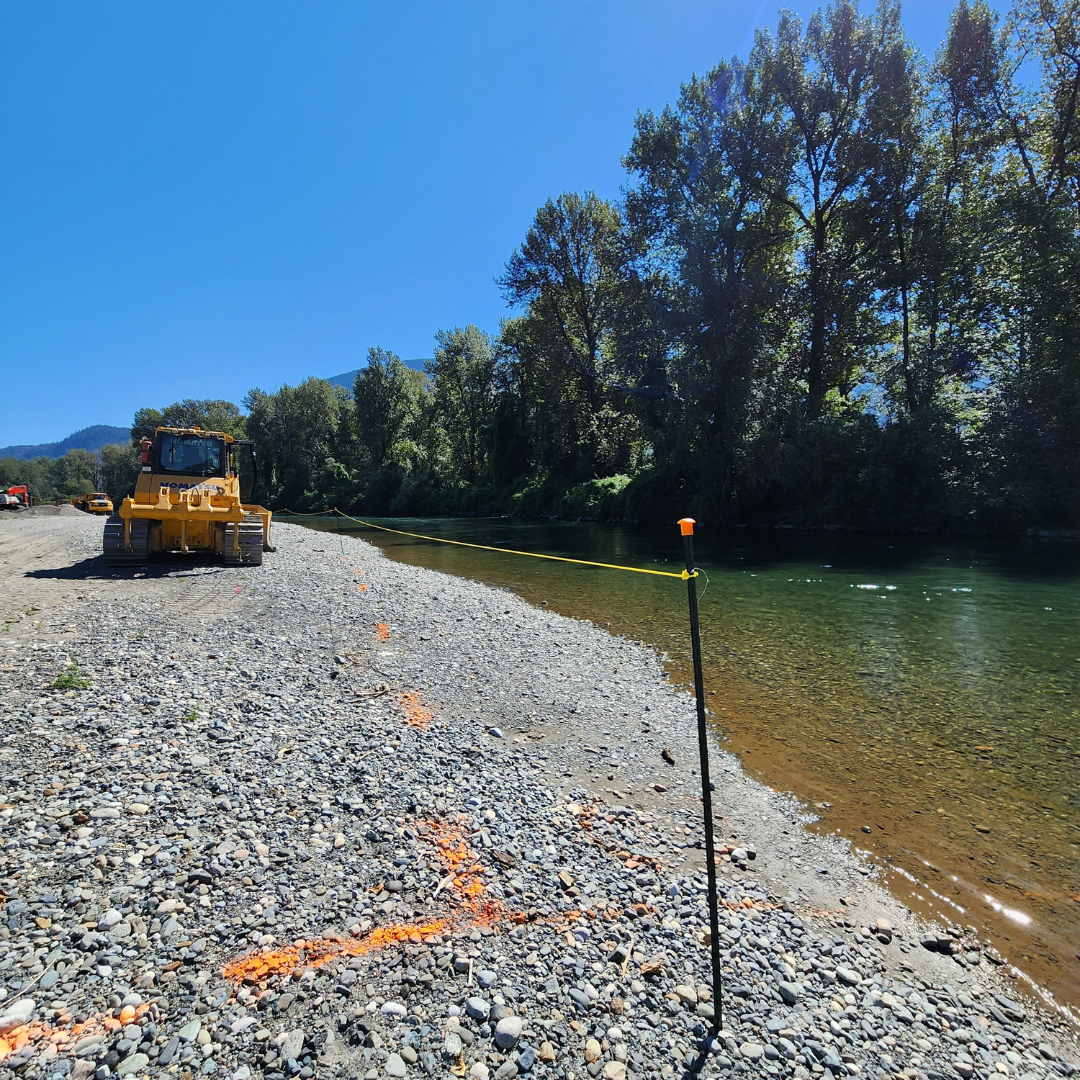 Site marking showing environmental footprint of the site. August 2024
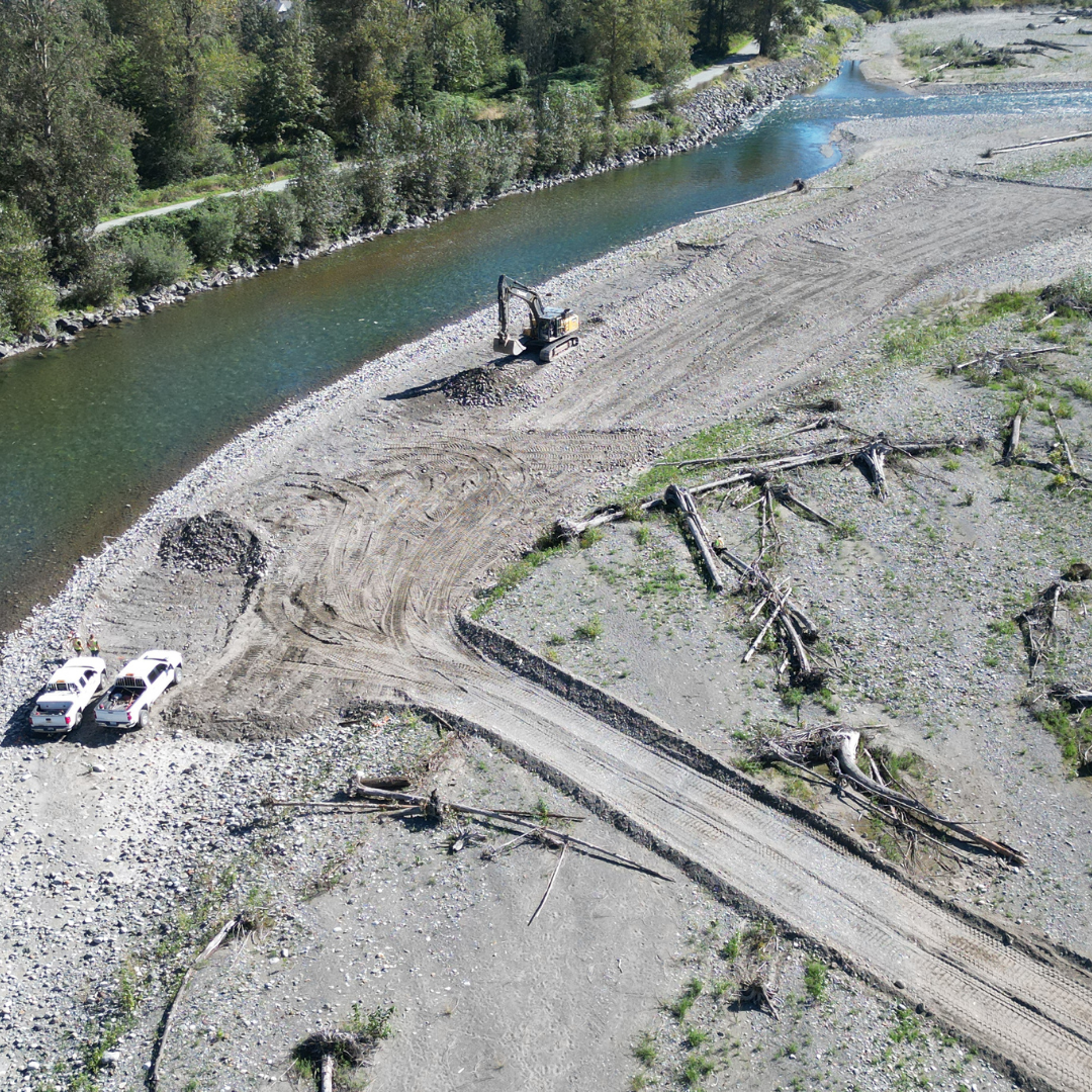
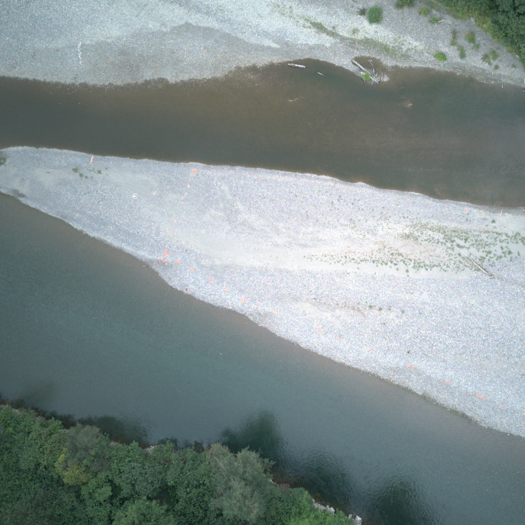
 Dry bar excavation in upper reach. August 2024
 Stock pile site of removed sediment to be hauled offsite. August 2024
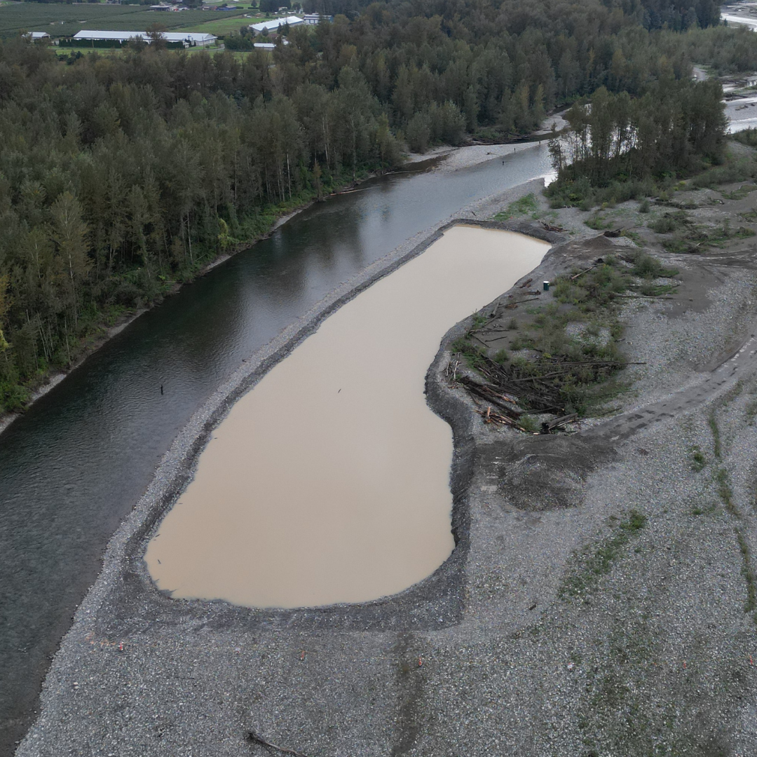
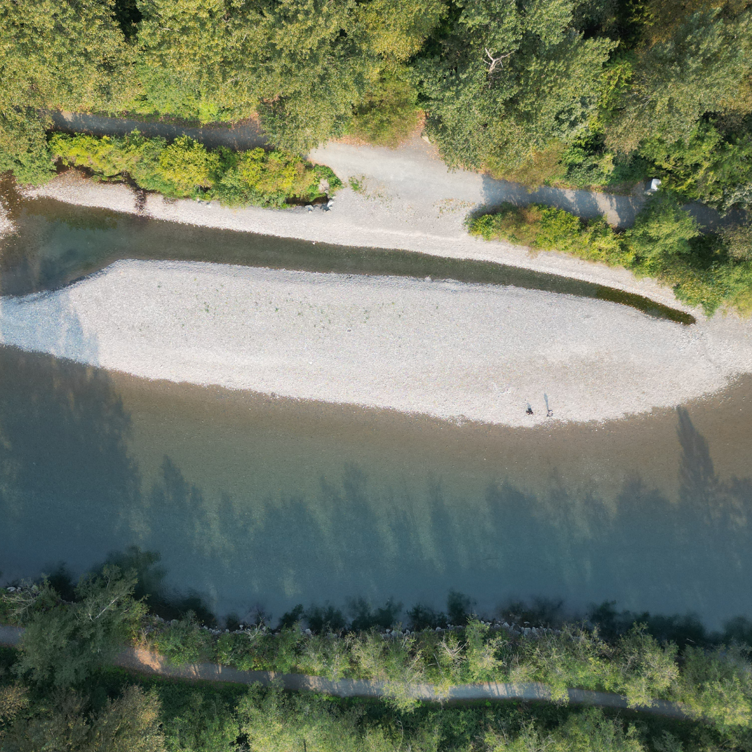
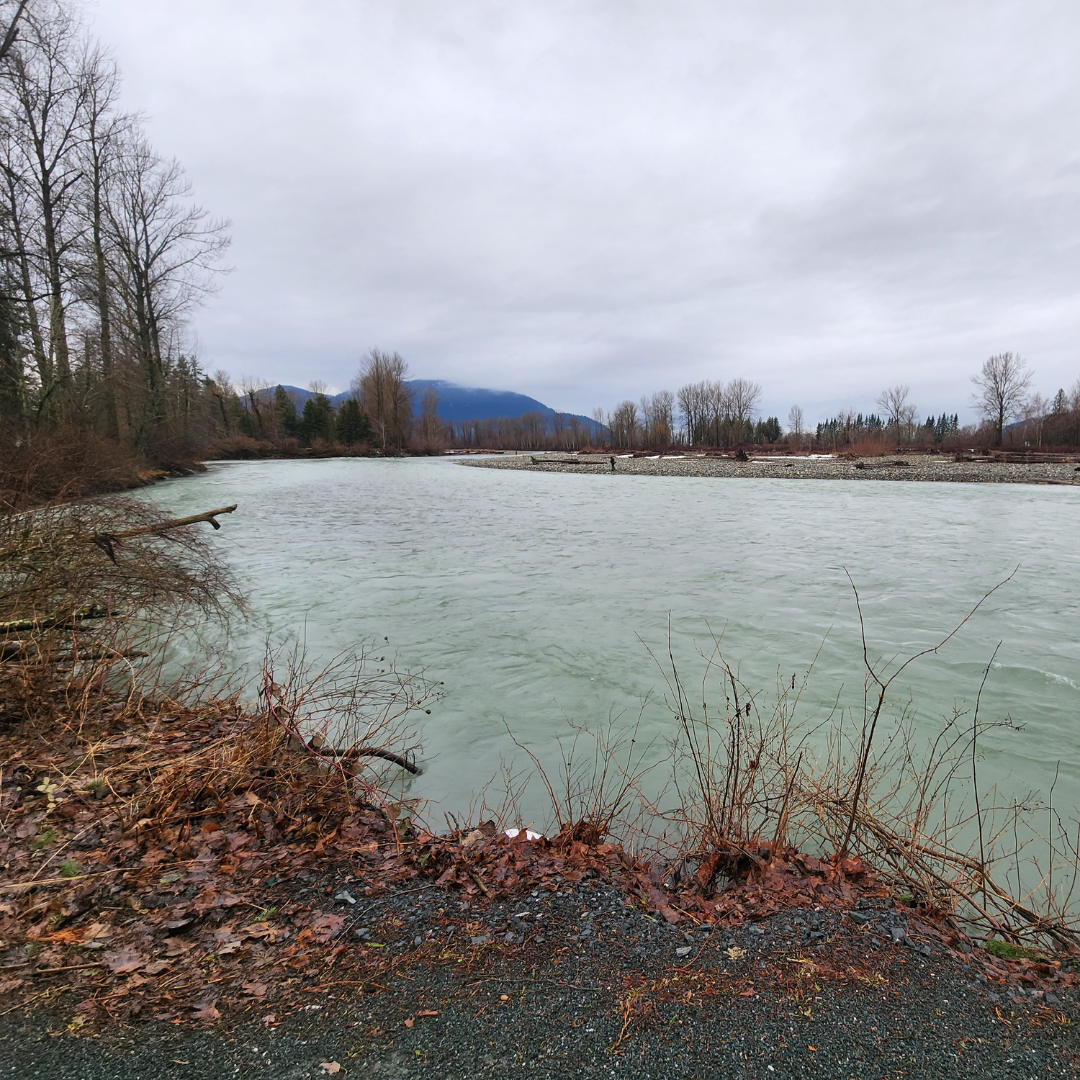
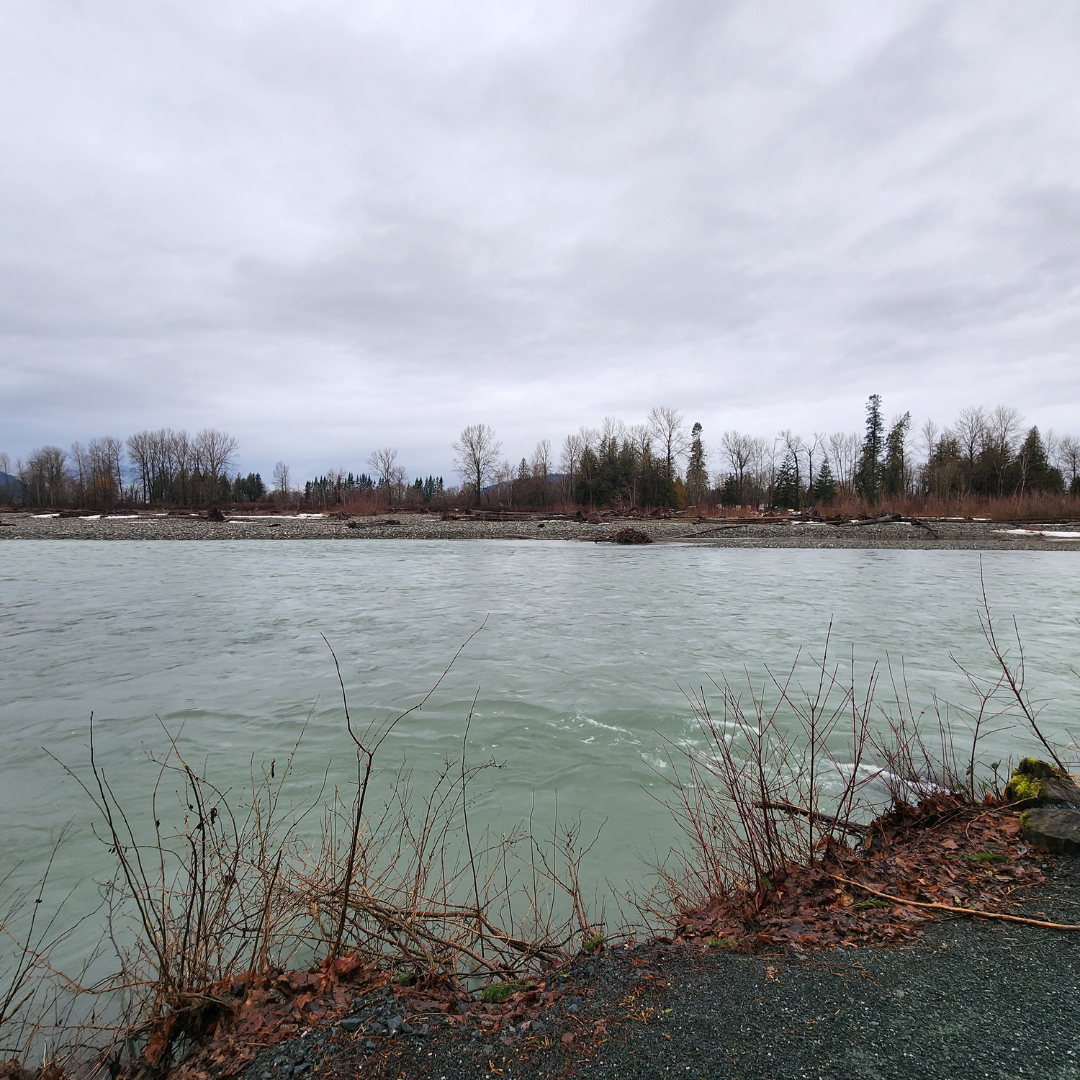 Image above: Vedder River January 2024
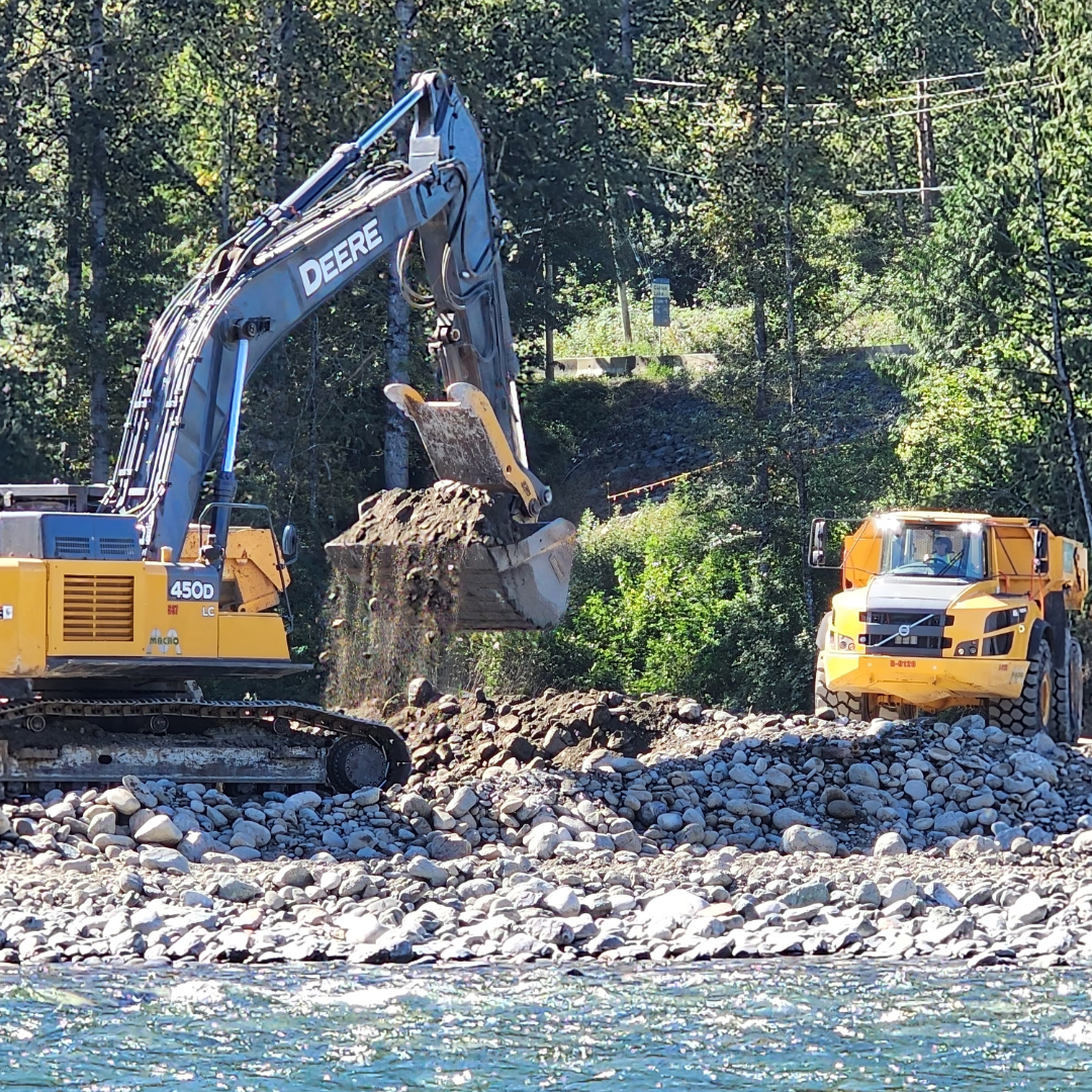 Dry bar excavation being loaded and hauled to stockpile site. August 2024
 Dry bar excavation in lower reach. August 2024
 Temporary bridge installed to limit disruption of waterways. August 2024
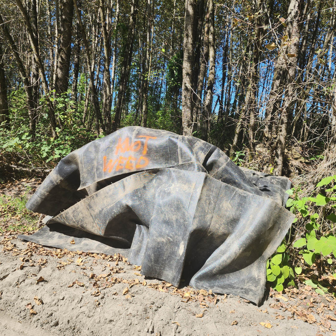 Protective measures to limit spread of invasive knotweed. August 2024
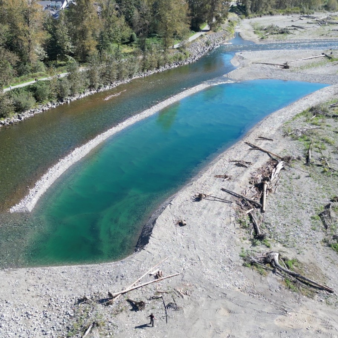
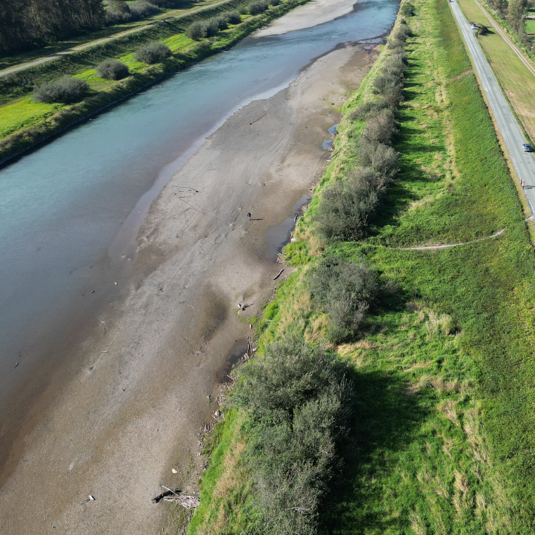
 Above image: Vedder River showing sediment bar. January 2024
Risk Evaluation
Public Health and Safety
High water levels and inadequate dike freeboard could compromise the standard of protection offered by the dikes and could cause significant public and infrastructure hazard in the event of a dike breach or overtopping during high flow conditions in the river.
River Capacity
The Veddar River and Canal flood flows are typically governed by fall/winter storm events rather than freshet flows. Flood conveyance capacity has been compromised by a significantly higher than average accumulation of sediment. Sediment needs to be removed or dikes raised to meet current standards.
Environmental
No significant damage to riparian vegetation was noted. Damage to fish habitat is unknown but not expected to be high.
Infrastructure
A significant amount of sediment has accumulated in multiple locations within the 12km between Veddar Crossing bridge and the Highway 1 bridge. The Highway 1 bridge, Keith Wilson bridge and SRBC bridge piers could be compromised by erosion from accumulation at the piers and on adjacent river banks. River banks could be exposed to erosion based on the location of the sediment accumulation in the main channel.
Contact information
sec.info.epd@gov.bc.ca
Subscribe
Enter your email address to subscribe to updates of this page.