
Lorenzetta Creek

Area: Outside Hope
Work will include repairing banks and restoring channel capacity.
Lorenzetta Creek flows southwest from the Skagit Range of the Cascade Mountains, across the Fraser River floodplain for approximately 2 km, before flowing into Wahleach/Jones Creek, just east of Highway 1. Before reaching the floodplain, the creek flows across a very steep fan before flowing across an alluvial fan for approximately 500 meters upstream of McKay Road; this reach of the creek which flows across the alluvial fan is confined by berms/dikes on both banks.
Sediment removal in the basin has improved creek flow capacity.
Project Details
Total Budget:
$3.4 Million
Projected Completion Date:
March 2025
Community & Taskforce Members
- Peters First Nation
- Shxwowhamel First Nation
- Fraser Valley Regional District
- Ministry of Emergency Management and Climate Readiness
- Ministry of Environment and Climate Change Strategy
- Ministry of Water, Land and Resource Stewardship
- Ministry of Forests
- Ministry of Transportation
- Kerr Wood Leidal
Videos
Images
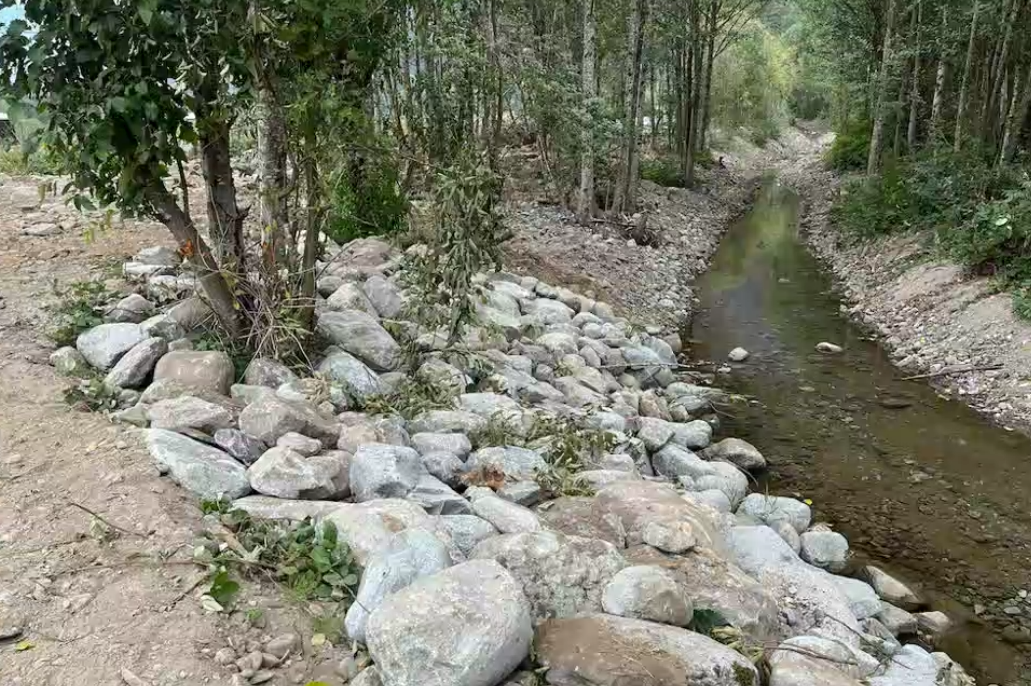
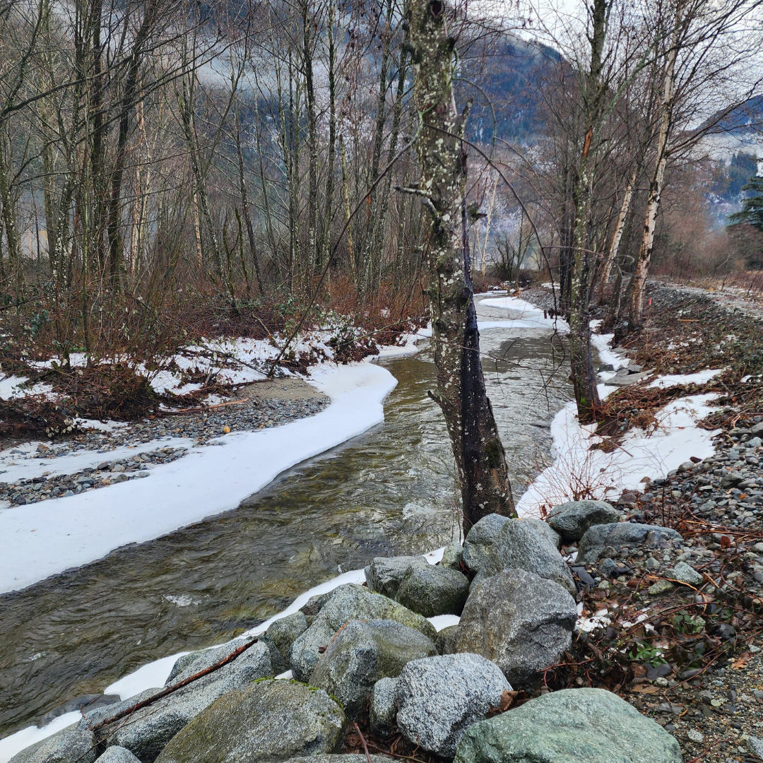 Above image: Looking downstream from site tour January 2024.
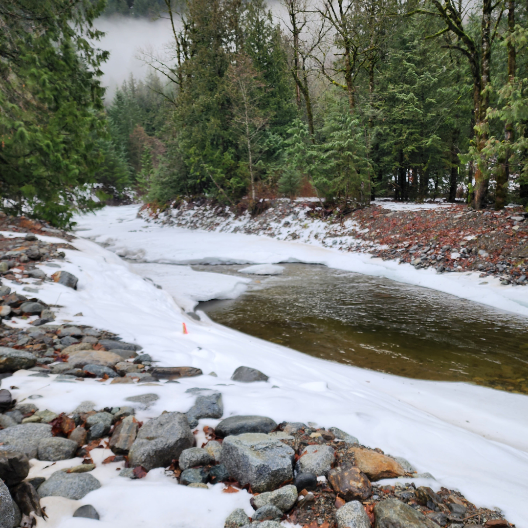 Above image: Sediment basin from site tour January 2024.
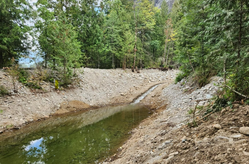 Above image: Filling the basin
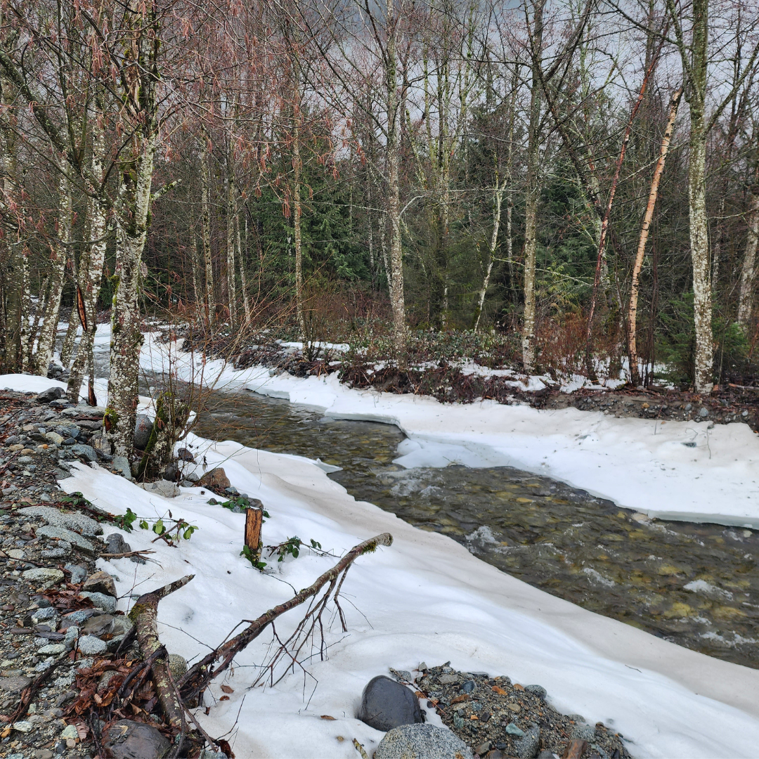 Above image: During site tour January 2024.
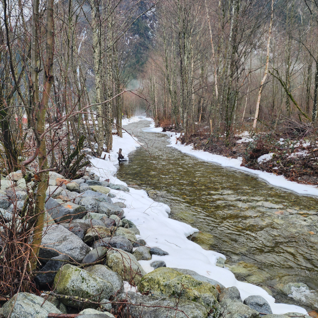 Above image: Looking upstream from site tour January 2024.
 Above image: Enhanced boulder placement
Risk Evaluation
Public Health and Safety
Fast flowing water, overland flooding from avulsion, and debris events could pose a hazard to members of the public who use McKay Road and Laidlaw Road, and those who reside and farm near Lorenzetta Creek.
River Capacity
Creek avulsions may occur in the future, leading to overland flow. Debris/ sediment deposition in Lorenzetta Creek could lead to creek flow overtopping the banks. Flooding or backwatering could also occur if the bridge crossing at McKay Road became blocked during future debris events.
Environmental
Damage to the blueberry fields due to flooding. Environmental contamination could result from flood waters transporting residual toxic substances from farm equipment and chemical storage areas.
Infrastructure
Flooding would damage adjacent blueberry fields, leading to loss of crops. McKay Road, and its bridge crossing, could also at risk of being damaged during significant flooding or debris events.
Contact information
sec.info.epd@gov.bc.ca
Subscribe
Enter your email address to subscribe to updates of this page.