
Dzawada'enuxw (Kingcome Inlet)

Area: Kingcome
The Dzawada̱ʼenux̱w First Nation is an isolated community only accessible by boat and seaplane. Recovery works at this site includes the removal of sediment along the lower reaches of the river to improve water flow.
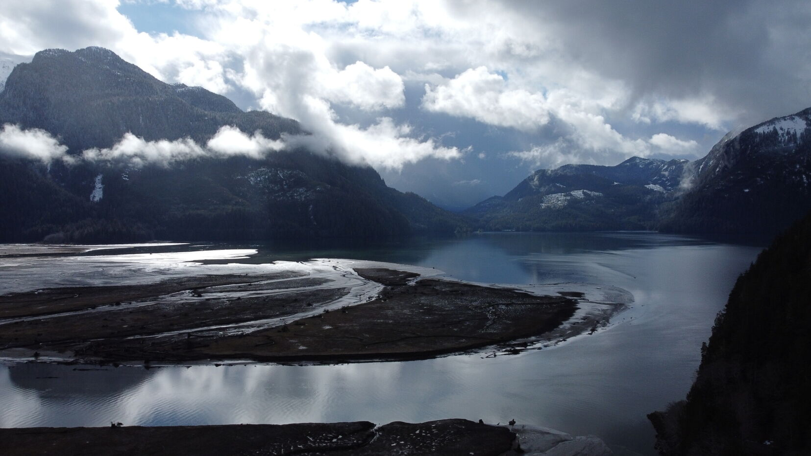
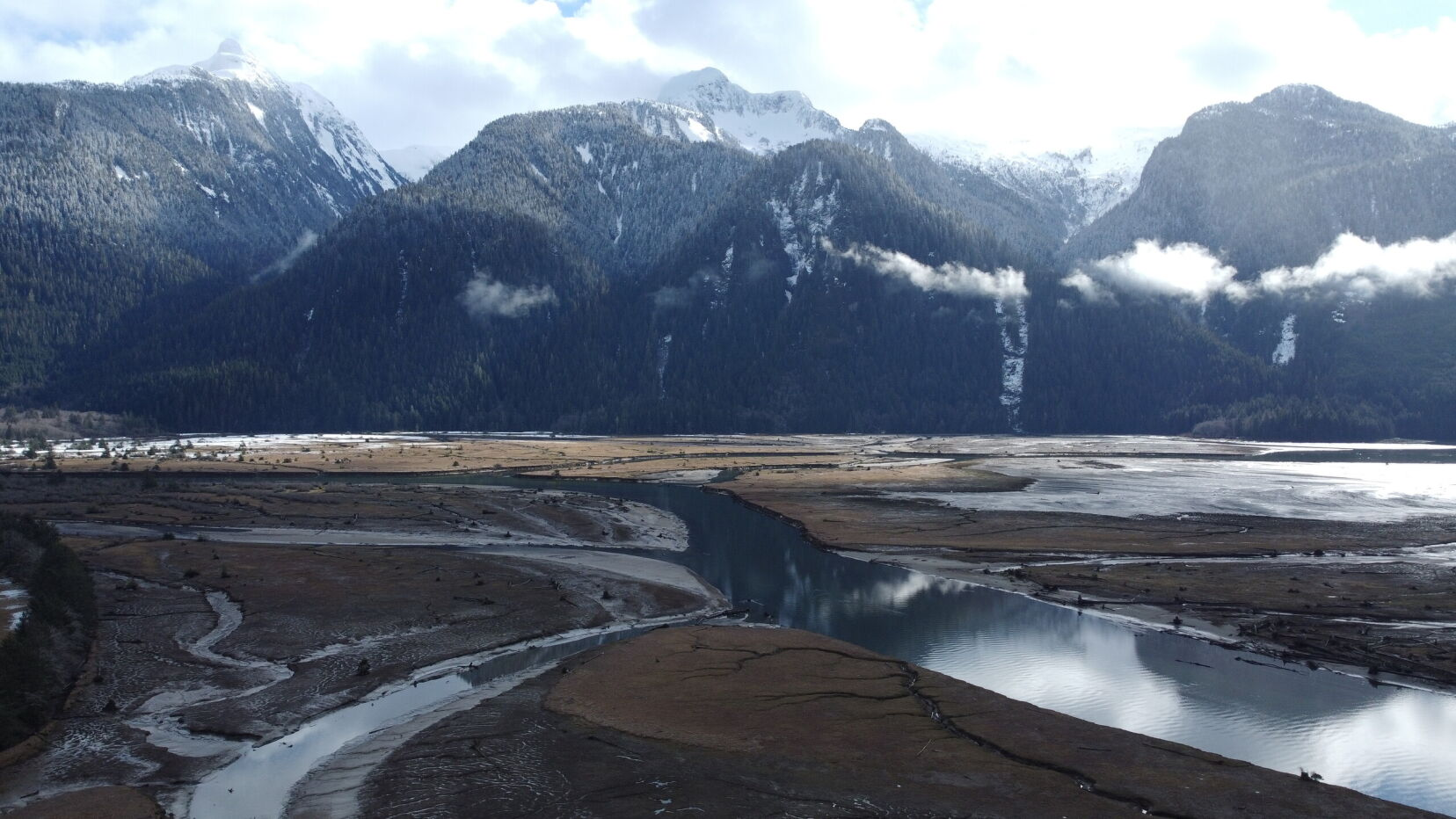
The contemporary landscape consists of steep rugged slopes and a broad alluvial valley up to 2 km in width, which is the typical ‘U’‐shaped glacial valley of the Coast Mountains. Sediment produced from the retreating glacial fields likely dominates the river’s sediment regime. Additional sediment sources include tributary streams and rivers, landslides, which are common along mainstem and tributary slopes, and erosion of the Kingcome floodplain.
Project Details
Total Budget:
$6.3 Million
Projected Completion Date:
September 2024
Community & Taskforce Members
- Dzawada'enuxw First Nation
- Indigenous Services Canada
- Ministry of Environment and Climate Change Strategy
- Ministry of Emergency Management and Climate Readiness
- Northwest Hydraulic Consultants
- JJM Construction
- ASHO Projects
Images
Risk Evaluation
Public Health and Safety
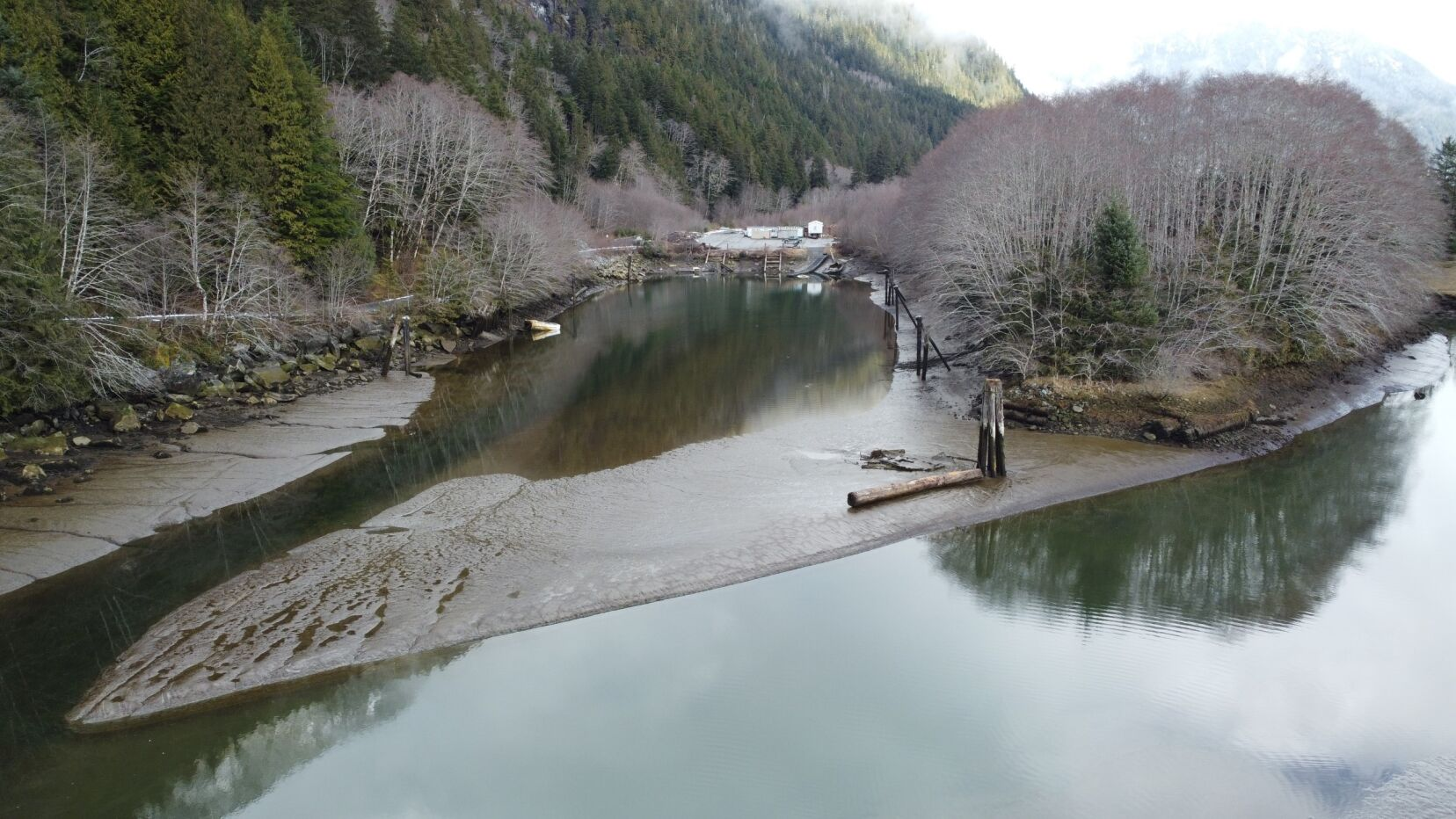
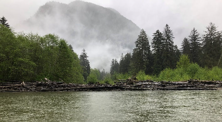
Sediment in lower area of the Kingcome River has resulted in shallow river depths during low tides. The DFN uses the river as their primary mode of transportation to access the float plane dock, barge dock and other communities. The community can no longer navigate the river safely during periods of low tide and low flow. They are cut off from supplies, and transportation during these windows. Woody debris that is in the river creates hazards to navigation during periods of mid to high tides. The consequences of attempting navigation outside of safe tide conditions is damage to boats and risk of injury or death.
River Capacity
Flooding in Gwa‐Yee Village is common. Portions of the Village flood during 10‐ to 50‐year floods, most habitation is above the 60‐year flood level mapped in 2013. Current levels of sedimentation in the river could increase flood levels associated with these return periods.
Environmental
Minor habitat loss occurred in areas where bank loss and sediment deposition were high.
Infrastructure
Affected community infrastructure includes the barge loading ramp and boat storage. This can now only be accessed during high tides.
Contact information
sec.info.epd@gov.bc.ca
Subscribe
Enter your email address to subscribe to updates of this page.