Accessing non-integrated hydrometric data
Non-integrated data (data from monitoring sites outside of the Canada-British Columbia Program) are produced by hydrometric stations operated by provincial staff or third-parties.
Non-integrated data are expected to be collected, processed, graded and approved according to the Resource Information Standards Committee (RISC) Manual of British Columbia Hydrometric Standards, Version 2.0 (PDF, 6.6 MB). These standards were developed to complement national standards and to account for different levels of rigour and data quality. They also set the qualifications for individuals carrying out hydrometric surveys and processing data for use by others.
Accessing non-integrated data
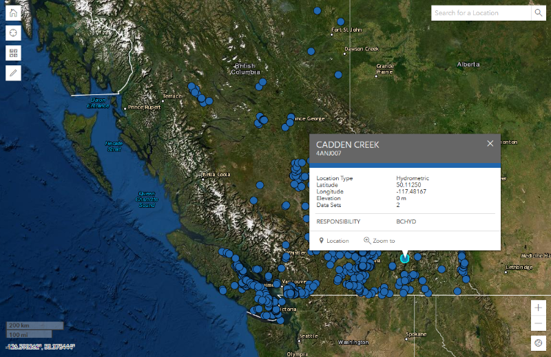
Non-integrated data are captured by the Aquarius Time Series Database and distributed through the Real-time Water Data website.
The Aquarius Time-Series database is the province's primary repository of continuous surface, groundwater and snow data from monitoring stations across the province.
Contributing third-party data to the provincial hydrometric program
Data collected in B.C. by third-parties forms a valuable resource to provincial decision makers and other data users. Third-party data includes measurements made by First Nations, stewardship groups, industry, consultants, municipalities and others. Submitting data to the province for inclusion in the Real-time Water Data tool and making it available on the public web portal allows for easy access and use of the data.
Data Sharing Agreement
Before submitting your hydrometric data, a standard data sharing agreement signed by the data owner is required. The agreement allows the sharing of data by third parties with the province and publication of that data on the provincial Real-time Water Data tool.
More information about the agreement and how you can submit your data can be found on our Share your water data section.
Once you have submitted your signed data sharing agreement, you will be provided a provincial station ID for your station.

