BC Geological Survey Digital Geoscience Data
Provided here are the current versions of our digital datasets that are regularly updated. Search our publications catalogue to find additional digital datasets that have been published as standalone products.
Geology

Province-wide integrated digital coverage of bedrock geology. Details on updates are provided in the notes below. For more information visit our BC Digital geology page.
Notes on BC digital geology updates. The current version is ‘2019-12-19’.
BC digital geology in shapefile (ZIP, 74 MB). The current version is ‘2019-12-19’.
BC digital geology in GeoPackage (ZIP, 59 MB). The current version is ‘2019-12-19’.
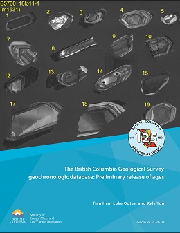
This GeoFile releases ages published between 1960 and 2020 in two CSV files and one Microsoft Access file. The CSV files, one for new data (new_age.csv) the other for BCAge data (bc_age.csv), were generated with simplicity, exchangeability, and GIS-readiness in mind. They contain sample location coordinates, age, and numerous other primary attributes. The Microsoft Access database file (geochron_db.accdb) includes entities, relationships, and data that mirror the operating BCGS system.
Assessment reports
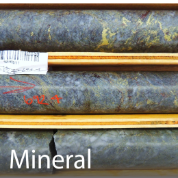
Assessment Report Indexing System (ARIS) is a relational database that is both an index and an administrative tracking system for reports. ARIS provides information on geological, geophysical, geochemical, drilling and other exploration-related activities throughout the province. These reports are confidential for a year from submission. For more information visit our ARIS page.
ARIS database (mdb, xls, shp). The current version is ‘2022-04-01’.
Downloads are also available through the BC Data Catalogue.
When submitted with assessment reports, digital data files are made available for download as .zip files. For more information visit our ARIS Digital Data page.
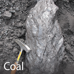
COALFILE is the collection of assessment reports and data from coal exploration and development properties across British Columbia. The information contained in COALFILE is stored as a relational database and includes spatial information for boreholes, bulk samples, and trenches. For more information visit our COALFILE page.
COALFILE database (mdb, shp). The current version is ‘2021-12-31’.
Mineral inventory
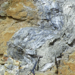
MINFILE mineral occurrence database contains geological, location and economic information on more than 15,125 metallic, industrial mineral and coal occurrences in British Columbia. MINFILE/pc is a MS Access database, downloadable for local use. It has an interface similar to MINFILE (the web-based search application) consisting of basic and advanced searches on a variety of exploration and/or geological parameters, on-screen occurrence summary data, and other reports and downloads. Help support is available from the Mineral Inventory Geologist. For more information visit our Mineral Inventory page.
MINFILE/pc database (mdb). Updated daily.
Download individual MINFILE tables:
- Mineral Occurrence table (shp, xls, csv, kml, wms). Updated daily.
- Mineral Inventory table (shp, xls, csv, kml, wms). Updated daily.
- Mineral Production table (shp, xls, csv, kmls, wms). Updated daily.
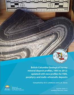
Mineral deposit profiles were prepared by the British Columbia Geological Survey (BCGS) between 1995 and 2012. Using a standard format, the profiles were written as concise comprehensive descriptions of types of metallic mineral, industrial mineral, gemstone, and coal deposits. These descriptions include geological characteristics, mineral exploration techniques, resource information, and concepts about deposit origin(s). The profiles in this compilation generally have sufficient information to describe a deposit anywhere in the world. However, many provide information about tectonic setting, age of mineralization, references, resource data, and economic factors that is specific to British Columbia. Most of the profiles were initially published in BCGS Open File reports or in Geological Fieldwork volumes and were made available to the public on the BCGS website. The purpose of the present report is to re-release all 120 profiles in one collection. Except for minor typographic corrections, the information in the profiles remains unchanged from the time of original publication. Although the content of some profiles is dated, all contain factual information that remains current. The next generation of mineral deposit profiles will further support completing modern resource assessments, likely enabled by artificial intelligence applications. For more information visit our Mineral Deposit Profiles page.
Mineral Potential
Atlin-Taku Mineral Resource Assessment - GeoFile 2009-05
Level 2 Mineral Resource Assessment Coastal British Columbia - GeoFile 2004-08
The British Columbia Mineral Potential Project 1992-1997 - GeoFile 2004-02
Provincial Mineral Potential - Mineral Resource Assessment Level 1 (ZIP, 5.43 MB)
For more information visit our Mineral Potential page.
Vancouver Island Project (1995) (Open File 1994-06)
Cariboo-Chilcotin (Open File 1994-07)
Kootenays (Open File 1994-08)
Skeena Nass Project (1995) (Open File 1994-14)
Mid Coast Project (1995) (Open File 1994-17)
Thompson-Okanagan (1995) (Open File 1996-20)
Northeast B.C. (1996) (Open File 1995-24 and Open File 1995-06)
Northwest B.C. (Open File 1996-11)
Queen Charlotte Islands (GeoFile 2004-12 and GeoFile 2005-05)
Geochemistry
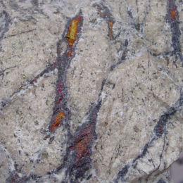
Province-wide lithogeochemical data collected by British Columbia Geological Survey geoscientists and their research partners. For more information visit our Lithogeochemistry page.
Lithogeochemistry database (csv). The current version is ‘2024-01-03’.
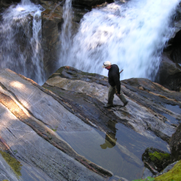
The most current and complete province-wide geochemical dataset collected under the Regional Geochemical Survey (RGS) program. For more information visit our Regional Geochemical Survey page.
Regional geochemical survey database (xls, pdf). The current version is ‘2020-05-01’.
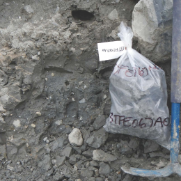
Till geochemistry surveys are targeted at regions of high mineral potential where glacial sediments cover and obscure the underlying bedrock. Till geochemical anomalies identify areas where glaciers eroded mineralized bedrock and redeposited the mineral debris in down-ice dispersal trains. For more information visit our Till geochemistry page.
Till geochemical database (xls, pdf). The current version is ‘2017-08-23’.
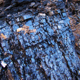
This database compiles ash chemistry analyses of British Columbia Rocky Mountain bituminous coals from public sources into a standardized format. For more information visit our Coal ash geochemistry page.
Coal ash geochemistry database (xls, pdf). The current version is ‘2017-06-29’.
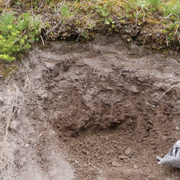
Assessment report-sourced surface sediment geochemistry database contains surface sediment geochemical data (e.g. soil, silt, stream sediment, and till) from the Interior Plateau, and includes location coordinates, sampling parameters and notes, laboratory information, sample preparation methods, and analytical methods. For more information visit our Assessment report-sourced surface sediment geochemistry page.
Download a complete copy of the assessment report-sourced surface sediment geochemistry database (csv, gpkg, pdf). The current version is ‘2020-12-01’.
Additional search tools and report specific downloads are available here.
Assessment report drillhole database: Development and initial data release
Assessment report drillhole database: This initial release of drillhole data from assessment reports includes collar information, lithological descriptions and assays from more than 400 reports.
Indexes
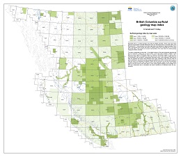
The surficial geology map index contains maps that have been produced by the British Columbia Geological Survey, the Geological Survey of Canada, and Geoscience BC. To be included in this index, maps have to be available for download. Each map is represented by the actual map extent or footprint rather than a bounding box or NTS sheet that it falls within. For more information visit our Surficial mapping page.
Surficial geology map index database (pdf, shp, gdb, kmz). The current version is ‘2020-01’.
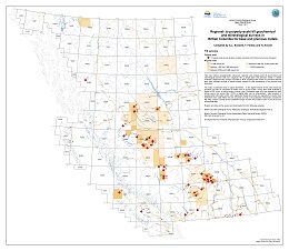
This till geochemistry survey indexes geographically referenced, regional- and property-scale till geochemical and mineralogical surveys that use subglacial tills to target base and precious metals in British Columbia. Regional-scale surveys are listed by NTS mapsheet; property-scale reports by presumed deposit type. Also included are lists of topical studies relevant to drift prospecting. For more information visit our Till geochemistry page.
Regional- to property-scale till geochemical and mineralogical surveys in British Columbia for base and precious metals index database (pdf, shp, gdb, kmz). The current version is ‘2020-01’.
The BC Geological Survey publications catalogue is an index more than 5,580 publications and databases dating back to 1874. For more information visit our Publications page.
The BC Geological Survey publications catalogue (xls). The current version is ‘2020-04-28'.
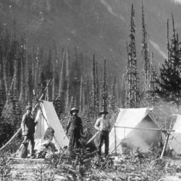
Property File is a collection of more than 73,000 documents donated to the Survey in the last 150 years by government, universities, industry, and individuals. The documents include unpublished reports, theses, field notes, company prospectuses, correspondence, hand-drawn maps, claim maps, mine plans, photographs, and geological, geochemical, geophysical, and drill data. For more information visit our Property File page.
Property File database (xls, csv, txt). The current version is '2018-07-20'.
Ice-flow indicators
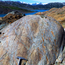
A compilation of ice-flow indicators digitally captured from published and unpublished surficial geology, terrain, glacial features, and bedrock geology maps. The most recent compilation consists of more than 152,980 ice-flow indicators across British Columbia and Yukon. For more information visit our Ice-flow indicators page.
Ice-flow indicators database (shp, gdb, pdf). The current version is ‘2020-01-20’.
Subscribe
Enter your email address to subscribe to updates of this page.
