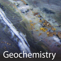
The Survey generates new geoscience knowledge through field-based bedrock and surficial geology mapping programs, regional geochemical surveys, and targeted mineral deposit studies.
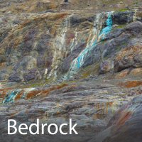
British Columbia Geological Survey geoscientists undertake field and laboratory studies to document and better understand the bedrock geology of the province.

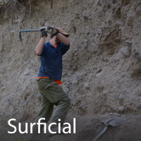
Survey surficial geologists map the nature, distribution, age, and origin of unconsolidated sediments and landforms formed in the last 2.6 million years (Quaternary Period).


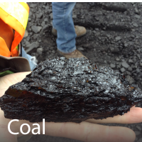
Overview of Coal in BC, and details of the geology, ages, resource estimates, and mining history of British Columbia’s coalfields


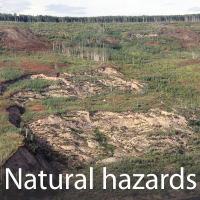
Natural hazards are Earth processes with the potential to harm people or property; natural disasters result when society is affected by a hazardous event.
Geophysical surveys conducted by the Geological Survey of Canada, and Geoscience BC.
