
British Columbia Extreme Flood Project
The British Columbia Extreme Flood Project supplements available hydrology and hydrometeorological information. The goal was to improve the quality and accessibility of data about extreme flood events in B.C. The project was a collaboration between the government of B.C., technical advisors and consultants between 2018 and 2021.
The B.C. Extreme Flood Project developed guidance documents and associated products for the entire province. This information is useful for the design of dams, spillways, dikes and stream crossings.
On this page
Guidance documents
Guidance documents are available for practitioners to use when completing flood studies with hydrometeorological and flood flow analysis information. The documents are available in EcoCat's Ecological Reports Catalogue.
| Bulletin | Title | Description | Location on EcoCat |
|---|---|---|---|
| Bulletin 2020-1-RFFA | Regional Flood Frequency Analysis (RFFA) Technical development report and manual to complete a regional flood frequency analysis |
Reference document for estimating design flows for dams for a range of extreme flood recurrence intervals. It can also be applied for various infrastructure projects in British Columbia. |
ID 59125 |
| Bulletin 2020-2-RPFA |
Regional Precipitation-Frequency Analysis (RPFA) - Technical Report |
This report describes the development of the gridded point precipitation-frequency estimates across British Columbia for the 24-, 48-, 72-, and 96- hour durations at annual exceedance probabilities from 1:2 to 1:1,000,000 years. |
ID 59231 |
|
Probable Maximum Precipitation (PMP) Guidelines for British Columbia – Technical Report |
Report summarizing the data and procedures employed, and the findings obtained from the PMP analysis completed for British Columbia. |
ID 59232 | |
|
MetStorm Reports Used for Determining the Probable Maximum Precipitation Guidelines |
This report provides hydrologists and engineers with storm reconstruction background information for each storm considered in the PMP analysis. |
ID 59799 | |
|
MetStorm Reports Used for Determining the Probable Maximum Precipitation Guidelines |
User’s guide to access, interpret, and use the storm precipitation grids available in the MetPortal. | ||
|
Draft MetPortal Application Guidance for Freshwater Dams |
Guidance document to assist hydrotechnical practitioners who are tasked with estimating the magnitude of flood peak flow rates and volumes in British Columbia for the design of dams, spillways, dikes, and stream crossings. |
Project deliverables
Hydrometeorological deliverables
The hydrometeorological deliverables are available from the MetPortal from DTN and include:
- PMP estimates for synoptic-scale storms at the 24, 48, 72, and 96-hour durations and key watershed area sizes for a series of transposition points across B.C.
- Probable Maximum Storms (PMSs), the storm spatial and temporal patterns that produced the PMP at a key watershed area size and duration of interest at each of the transposition points to convert the PMP estimates into input for a hydrologic model
- Point precipitation-frequency estimates for the 24-, 48-, 72-, and 96-hour durations
Project flood analysis deliverables
The Project flood analysis deliverables include:
- Frequency analysis reports for 816 hydrometric stations in the study region
- Assignment of flood regions based on the Ecological Land Classification system
- Regional flood prediction regression equations for ungauged basins
- Guidance on estimating the magnitude of extreme flood quantiles
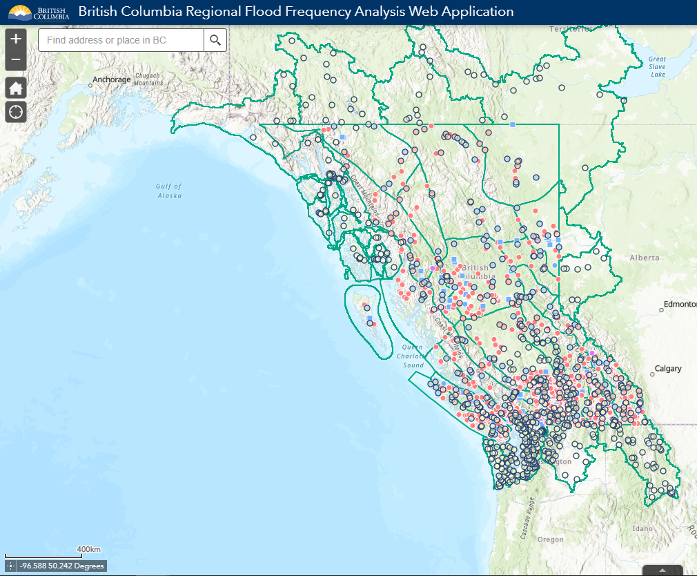
B.C. Regional Flood Frequency Analysis Portal
The B.C. Regional Flood Frequency Analysis Portal is an interactive map that shows locations of hydrometric stations and corresponding drainage areas analyzed to estimate peak flow events. Historical flood information from local and regional archives was incorporated into the flood frequency analysis.
Contact information
For more information about this project, contact Dam.Safety@gov.bc.ca.