
Chilcotin Sustainable Resource Management Plan
A key part of implementing the Cariboo-Chilcotin Land Use Plan (CCLUP) was the completion of seven sustainable resource management plans (SRMPs) covering the entire Cariboo region. The Chilcotin SRMP was endorsed by government and stakeholders in 2007.
The SRMPs address CCLUP strategies and targets at a sub-regional scale through detailed objectives and strategies for the management of natural resources and environmental values. The SRMPs provided a foundation for the order made under the Land Use Objectives Regulation of the Land Act for the Cariboo Region in 2010. The Chilcotin SRMP remains as non-legal guidance.
- Chilcotin Sustainable Resource Management Plan - 2007 (PDF)
- Map 1: CCLUP Timber Harvesting Access Levels (PDF)
- Map 2: Resource Development Zones and Protected Areas (PDF)
- Map 3: Grizzly Habitat Capability (PDF)
- Map 4: Landscape Units (PDF)
- Map 5: Old Growth Management Areas (PDF)
- Map 6: Ungulate Winter Range (PDF)
- Map 7: Critical Fish Habitat and Stream Classification (PDF)
- Map 8: Back Country (PDF)
- Map 9: Key Wetlands for Moose (PDF)
- Map 10: Visual Resource Management Areas Recommended VQOs (PDF)
- Map 11: Mineral Access and Tenures (PDF)
- Map 12: Existing Access (PDF)
Plan Status: Approved, legally established
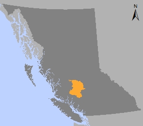
Plan Area: 2,234,260 hectares
Natural Resource Region: Cariboo
Natural Resource District: Cariboo-Chilcotin
Timber Supply Area: Williams Lake
Contact information
Contact us if you have questions about land use planning in the Chilcotin SRMP area.
250-302-4339