Highway 5 North Pilot Project – Average Speed Over Distance Technology
The Ministry of Transportation and Transit is launching a pilot project to improve safety on Highway 5 North between Kamloops and Avola. This project will use a new system to collect data on how fast vehicles travel between two points on the highway.
Status
The system will begin collecting data in December 2025.
The cameras will not be used for speed enforcement.
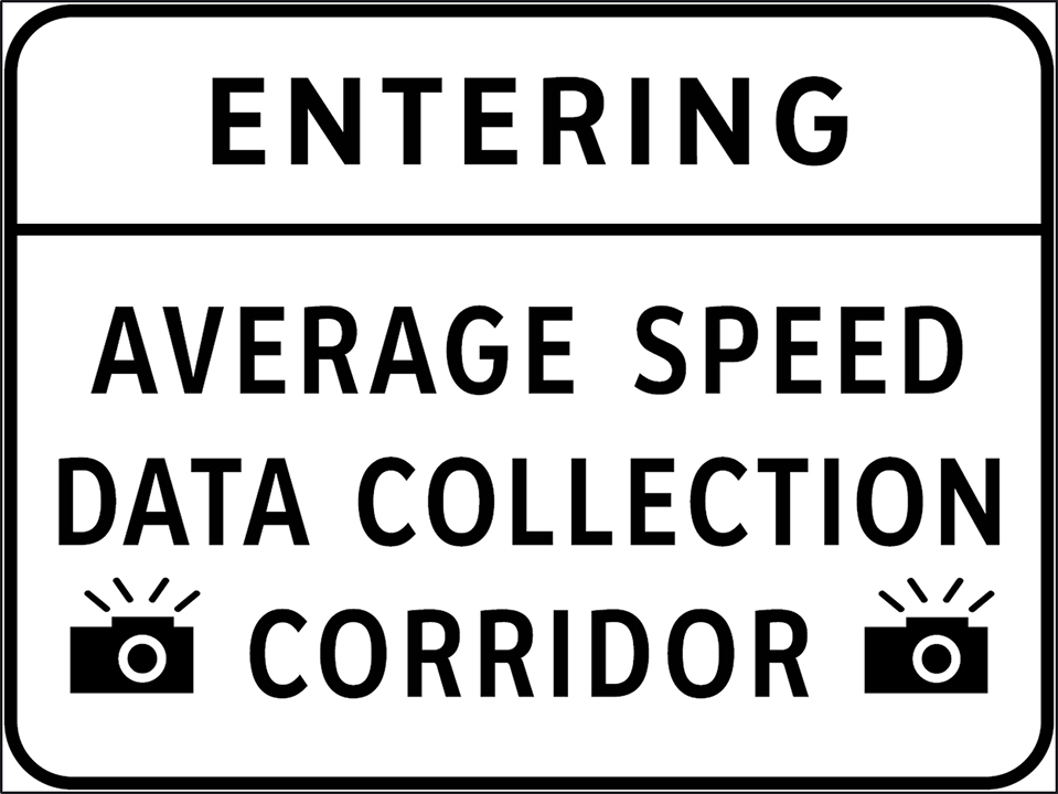
Signs will be posted to let drivers know when they are entering and leaving a data collection zone.


Why is this being done?
The data collected will provide more insight into driver speed over the corridor and help the ministry make informed decisions to improve safety.
This project supports other recent safety upgrades on Highway 5 North, including:
- LED chevrons
- Enhanced warning signs
- Dynamic message signs (DMS)
- Rumble strips
What is average speed over distance technology?
This system calculates the average speed of vehicles over a stretch of highway, rather than at a single point. It uses Automatic Licence Plate Recognition (ALPR) cameras to record when a vehicle enters and exits a zone. The cameras read images and text on vehicle licence plates and creates a file with the time, date and location for the vehicle.
How the system works
The system will gather real-time data to gain insight into travel time-based speed.
- Cameras record passing times at two control points
- Licence plate numbers are read using optical character recognition
- The system calculates travel time between the two points
- Knowing the distance, it calculates the average speed
- This speed is compared to posted speed limits
Protecting your privacy
The cameras are only used for data collection, not for issuing speeding tickets.
- Licence plate numbers are masked or replaced with special characters, similar to how credit card numbers are protected
- All data is anonymized and securely stored
- Data will be deleted as soon as it is no longer needed
Where will it be used?
The system will be installed on two segments of Highway 5 North. These segments were chosen because they have:
- Few entrances or exits
- Consistent speed limits
