
Golden Backcountry Recreation Access Plan
The Golden Backcountry Recreation Access Plan (GBRAP) was initiated in 1999 to resolve current and pending recreational issues and establish recreational patterns of use and opportunities in the Golden Timber Supply Area. The plan was developed in the context of regional land use strategic planning direction, specifically the Kootenay-Boundary Land Use Plan Implementation Strategy, which included backcountry recreation management guidelines to provide a range of recreation features, facilities and opportunities on provincial public land through lower-level strategic planning. Public recreation, tourism, and wildlife habitat conservation were considered during the community volunteer-driven and consensus-based decision-making process to establish recreation objectives at the landscape unit level. Non-recreational access (e.g forestry) is not affected by the plan.
The plan was completed in 2002 and approved in 2003. Minor amendments were made in 2006 to incorporate new mountain goat habitat information and in 2008 to address concerns in the West Bench area. The Golden Backcountry Recreation Advisory Committee remains active in providing interpretation of the plan for proposed activities within the plan area.
Recreational access restrictions may differ from those specified in the plan in some cases. Access Management Areas and Snowmobile Restricted Areas take precedence where they differ from the Golden Backcountry Recreation Access Management Plan.
Plan & Maps
Archive
Plan Status: Active Policy
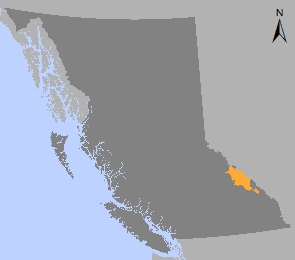
Plan Area: 924,099 hectares
Natural Resource Region: Kootenay-Boundary
Natural Resource District: Selkirk (formerly Columbia)
Timber Supply Area: Golden
Contact information
Contact us if you have questions about land and resource use planning in the Kootenay-Boundary region.