Agricultural Land Use Inventories
Agricultural Land Use Inventories (ALUIs) describe the use of B.C.’s agricultural land, including:
-
crop type
-
irrigation
-
livestock
-
non-farm uses in the Agricultural Land Reserve
-
agricultural planning
-
promoting agricultural development
-
resolving issues to strengthen farming
-
tracking trends and measuring changes over time
-
measuring the amount of land used for farming and with potential for farming
-
strategic planning at the local, regional, and provincial level
-
informing emergency response
-
supporting research initiatives
How is an inventory made?
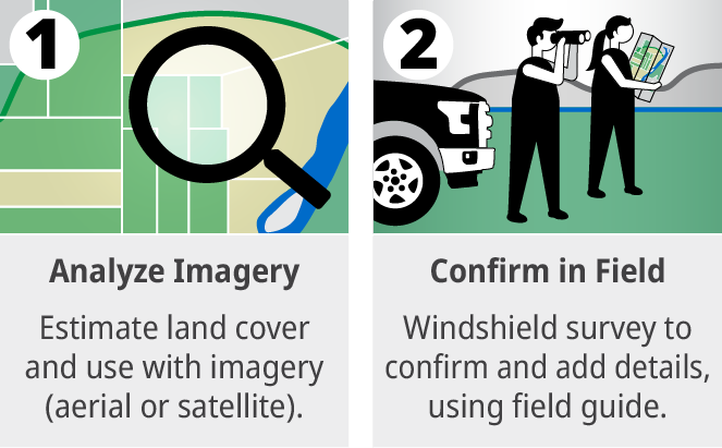
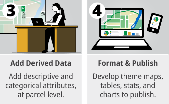
The ALUI does not include any personal information. Read more about privacy and the ALUI.
Access ALUI data
ALUI data is available in graphs, interactive dashboards, PDF reports, and data to download and use in other apps, on the MapHub platform.
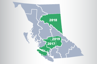
Different areas added or updated each year
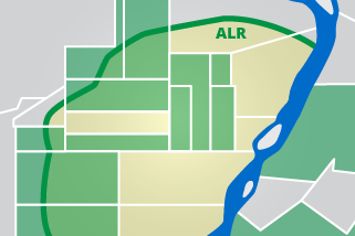
Includes all parcels in ALR and parcels with farming outside ALR
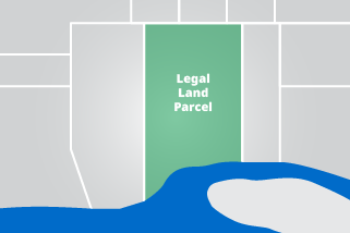
Base spatial unit = legal land parcel
Funding for the ALUI is provided through the Canadian Agricultural Partnership and previous federal-provincial-territorial partnerships. Many ALUIs are completed in partnership with local governments. Read more about ALUI partnerships and funding.
Contact
Phone:
1 888 221-7141
Email:
AgriServiceBC@gov.bc.ca
