Aquatic Ecosystems Value
The Interim Assessment Protocol for Aquatic Ecosystems in British Columbia is based on a scientific understanding of watershed processes. It is intended to provide the initial foundation for a consistent approach to province-wide watershed assessments employing standardized GIS-based methodologies and consistent data sources.
In some regions, modifications to this protocol or alternate assessment methods have been used to generate cumulative effects assessment reports.
- Thompson-Okanagan Region: A GIS Indicator-Based Watershed Assessment Procedure for Assessing Cumulative Watershed Effects – 2016 (PDF, 0.9MB)
- Kootenay-Boundary Region: A GIS Indicator-Based Protocol for Assessing Cumulative Watershed Effects: Procedures Adapted for the Kootenay Boundary Region, Version 1.0 – December 2020 (PDF, 3.0MB
To learn more about the aquatic ecosystems value and how it is assessed under the CEF, read the Aquatic Ecosystems Infographic (PDF, 297KB).
Assessment Reports
Current Condition Reports and Cumulative Effects Assessment and Management Reports produced under the Cumulative Effects Framework aim to provide decision-support for the management of aquatic ecosystems in British Columbia. Reports will be provided here as they become available.
Omineca Region:
Thompson-Okanagan Region:
- Current Condition and 10-Year Historic Trend Analysis of Hydrologic Hazards in the Kamloops Timber Supply Area – September 2016 (PDF, 2.1MB)
- Current Condition and 10-Year Historic Trend Analysis of Hydrologic Hazards in the Merritt Timber Supply Area – September 2016 (PDF, 3.1MB)
- Current Condition and 10-Year Historic Trend Analysis of Hydrologic Hazards in the Okanagan Timber Supply Area – February 2017 (PDF, 11.7MB)
Kootenay-Boundary Region:
- Aquatic Ecosystems Cumulative Effects Assessment Report, Elk Valley, Kootenay Boundary Region – July 2018 (PDF, 11.0MB)
- 2019 Analysis of the Kettle River Watershed: Streamflow and Sedimentation Hazards – January 2021 (PDF, 22.4MB)
South Coast Region:
CEF Aquatic Ecosystems Data
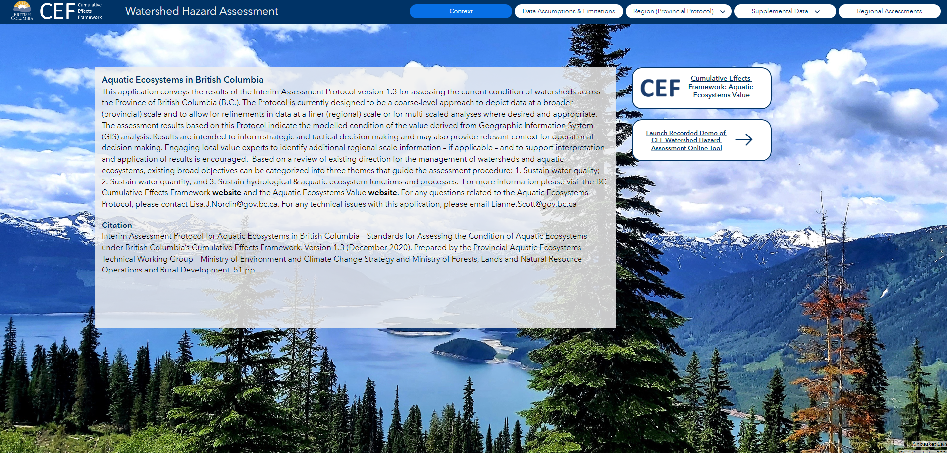
The Watershed Hazard Assessment conveys the results of the Interim Assessment Protocol for Aquatic Ecosystems (Version 1.3) for assessing the current condition of watersheds across British Columbia. The Protocol is currently designed to be a coarse-level approach to depict data at a broader (provincial) scale and to allow for refinements in data at a finer (regional) scale or for multi-scaled analyses where desired and appropriate. The assessment results based on this assessment protocol indicate the modelled condition of the value derived from Geographic Information System (GIS) analysis. Results are intended to inform strategic and tactical decision making and may also provide relevant context for operational decision making.
Please contact CumulativeEffects@gov.bc.ca with any questions or help related to this application.
Aquatic Ecosystems Infographic
To learn more about the aquatic ecosystems value and how it is assessed under the CEF, read the Aquatic Ecosystems Infographic (PDF, 297KB).
Rationale for Selection as a Cumulative Effects Framework Value
Watersheds are the geographic areas that channel drainage into a river or stream system. They are defined by topographic boundaries and might encompass complex natural ecosystems, highly urbanized landscapes, or elements of both. Watersheds have three distinct characteristics: (1) upland zones that intercept, infiltrate, and transport rain as groundwater and surface water flow, (2) riparian zones that border surface water bodies, filter surface water runoff, and provide shade that can lower water temperature, and (3) surface water bodies, such as rivers and lakes, that provide habitat, food, and water to aquatic and terrestrial species. Naturally functioning watersheds can also provide migratory corridors and habitat connectivity for birds and mammals. Maintaining properly functioning watersheds is an important management objective for British Columbians.
The term “watershed processes” refers to the dynamic suite of physical, chemical and biological interactions that form and maintain landscape functions on the scale of an entire watershed. Human development activities have the potential to impact the natural state of these processes by altering the timing and intensity of peak flows, accelerating surface erosion, degrading the condition of riparian zones, and/or triggering mass wasting events. Impacts can influence water quality and quantity and affect aquatic habitats.
Watershed Hazard Assessment
The Watershed Hazard Assessment conveys the results of the Interim Assessment Protocol for Aquatic Ecosystems (Version 1.3) for assessing the current condition of watersheds across British Columbia. The Protocol is currently designed to be a coarse-level approach to depict data at a broader (provincial) scale and to allow for refinements in data at a finer (regional) scale or for multi-scaled analyses where desired and appropriate. The assessment results based on this assessment protocol indicate the modelled condition of the value derived from Geographic Information System (GIS) analysis. Results are intended to inform strategic and tactical decision making and may also provide relevant context for operational decision making.
Please contact CumulativeEffects@gov.bc.ca with any questions or help related to this application.

