Assessment report surface sediment geochemistry and drillhole databases
The surface sediment geochemical and drillhole databases make information locked in PDF or paper copy assessment reports more accessible.
ARIS (Assessment Report Index System) is collection of over 40,000 reports that detail results from mineral exploration and development programs. Submitted by the exploration and mining industry to comply with Mineral Tenure Act Regulations and maintain titles in good standing, the reports become an open resource after a one-year confidentiality period. Although containing a wealth of information, the assessment reports are typically submitted in a form (e.g., paper or PDF file) that make working with the data cumbersome. To address this problem, we are developing databases that contain information extracted and digitized from assessment reports, and releasing data in formats that are amenable to evaluation using geospatial and analytical software.
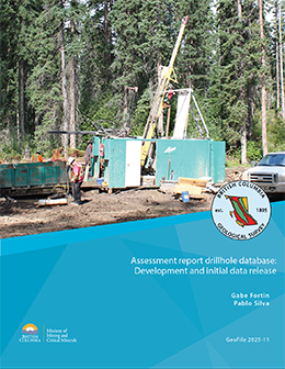
Assessment report drillhole database: Development and initial data release

Fortin, G., and Silva, P.L.
ARIS (Assessment Report Index System) is a collection of more than 40,000 reports that detail results from mineral exploration and development programs. Submitted by the exploration and mining industry to comply with Mineral Tenure Act Regulations and maintain titles in good standing, the reports become an open resource after a one-year confidentiality period. Although containing a wealth of information, the assessment reports are typically submitted in a form (e.g., paper or PDF file) that makes working with the data cumbersome. To address this problem, we are developing databases that contain information extracted and digitized from assessment reports and releasing data in formats that are amenable to evaluation using geospatial and analytical software. This initial release of drillhole data from assessment reports includes collar information, lithological descriptions and assays from more than 400 reports.
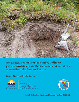
Assessment report-sourced surface sediment geochemical database: Development and initial data release from the Interior Plateau

J. Norris and G. Fortin
This database contains surface sediment geochemical data (e.g. soil, silt, stream sediment, and till) from the Interior Plateau, and includes location coordinates, sampling parameters and notes, laboratory information, sample preparation methods, and analytical methods. We use a streamlined process for data compilation, verification, product generation, and distribution. Containing information from about 120 assessment reports, the database includes results from more than 34,000 samples, with 1,446,000 determinations from 13 laboratories. The data released herein (BCGS_GF2019-04.zip) are provided as a GeoPackage, which can be imported directly into most GIS, and as a set of CSV files. Updates to the current surface sediment geochemical database will contain additional geochemical data. Future assessment report-sourced databases will include information from drill holes and geophysical surveys.
Recommended citation: Norris, J., and Fortin, G., 2019. Assessment report-sourced surface sediment geochemical database: Development and initial data release from the Interior Plateau. British Columbia Ministry of Energy, Mines and Petroleum Resources, British Columbia Geological Survey GeoFile 2019-04, 9p.
View GeoFile 2019-04 (PDF, 4.5MB)
Download GeoFile 2019-04 (ZIP, 59MB)
Also available on MapPlace 2 in the Assessment Report (ARIS) layer.
