
Weather Research and Forecasting Model (WRF) Data
Assessing the impact of air pollutant emissions in B.C.’s complex terrain requires detailed meteorological (weather) data. This is a challenge over many parts of the province as there may be large distances between weather monitoring stations. Mathematical models of the weather are one tool that can help address this data gap.
Mesoscale models and WRF
One type of weather model is a mesoscale numerical weather prediction model. This type of model can be used to produce realistic meteorological data over the entire province, even where no nearby observations exist. This data in turn can be used to produce more accurate air quality assessments than relying only on weather station data.
The WRF model is a type of mesoscale numerical prediction model. Many national meteorological centers, laboratories, universities, and companies around the world use this model. It gives hourly, three-dimensional, gridded, meteorological data, called WRF data.
WRF data mapping tool
To assist with air quality model assessments, the government has created a set of WRF data that is available for download and use.
The province-wide WRF data are in CALMET-ready format (3D.DAT). CALMET is the meteorological component of the CALPUFF air quality modelling system that is recommended in B.C. for certain applications.
B.C. WRF Data Characteristics
- Hourly time resolution
- 4-km horizontal grid resolution
- 40 vertical levels
- Reference heights below 1,000 m:
- 0.0, 10.9, 34.1, 60.3, 89.6, 122.5, 160.0, 202.1, 249.6, 303.7, 364.8, 433.5, 511.5, 600.1, 700.4, 814.4, and 944.1 m
- Reference heights between 1,000 – 3,500:
- 1092.1, 1261.5, 1455.3, 1677.7, 1934.1, 2230.9, 2576.1, 2980.0, and 3455.7 m
- Reference heights above 3,500 m:
- 4021.9, 4628.0, 5180.4, 5705.6, 6265.0, 6866.0, 7545.5, 8317.4, 9224.7, 10311.2, 11426.7, 12261.6, 12875.1, 13547.3, and 14290.2 m
- Reference heights below 1,000 m:
- 3-D variables
- Wind speed, wind direction, temperature, relative humidity, pressure, mixing ratios of water vapor, cloud water, rain water, ice, snow, and graupel
- 2-D variables
- Surface pressure, total precipitation, flag indicating snow cover, downward short wave and long wave flux at ground surface, temperature at 2 m, specific humidity at 2 m, wind speed at 10 m, wind direction at 10 m, sea surface temperature, surface skin temperature, planetary boundary layer height, upward and latent heat fluxes at the surface, U* in similarity theory, cumulus precipitation, and grid scale precipitation
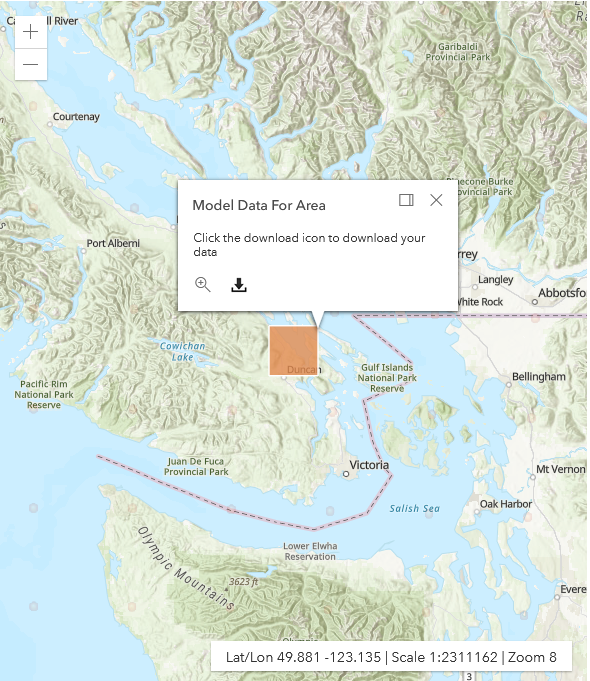
How the mapping tool works
You can download WRF data in your web browser using the Weather Research and Forecasting Model (WRF) interactive mapping tool.
The first step is to define the area (spatial) and time (temporal) period of data to be downloaded. After the spatial and temporal boundaries of the WRF data are specified, a complete WRF data-generating package for Windows-based computers is downloaded.
Specifications
The application is developed for users of the CALPUFF air quality model system. It gives access to 4-km grid resolution of CALMET-ready meteorological data covering all of B.C. plus surrounding areas.
Access WRF data through the Weather Research and Forecasting Model (WRF) interactive mapping tool.
System requirements: Windows OS, 64-bit web browser
Contact information
Contact B.C. Air Quality for questions or comments about the Weather Research and Forecasting Model (WRF) Data.