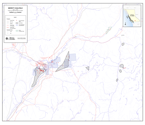
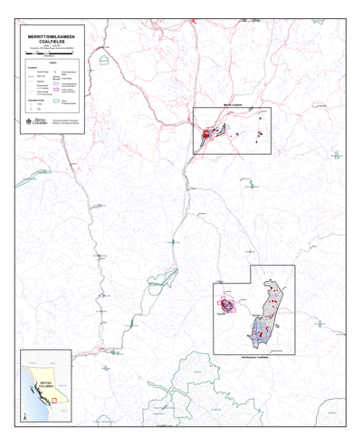
The Merritt Coalfield
NTS Map Sheet 92I/02
The Merritt Coalfield comprises several isolated Tertiary sedimentary areas that outcrop within a radius of 15 kilometres and cover an area of 105 square kilometers. Coal is hosted by the lacustrine Eocene Coldwater Formation. From 1906 to 1963, underground mines in the area produced 2.4 million tonnes of high-volatile C to A bituminous coal. Reportedly, several seams of 1.5 metres thickness are present, but faulting and abrupt lateral changes of stratigraphy made seam correlation and underground mining difficult.
Selected references
- Matheson, A., 1991. Subsurface Thermal Coal Sampling Survey, Merritt Coal Deposits, South-Central British Columbia. Geological Fieldwork 1991, B.C. Ministry of Energy, Mines and Petroleum Resources, Paper 1992-1, pages 427-432.


