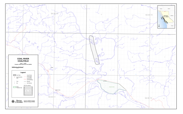
The Coal River Coalfield
NTS Map Sheet 94M/10
The Coal River Coalfield (1:50,000) (PDF, 0.6MB)
Coal River cuts through an area of Tertiary rocks exposing a single seam of lignite. The complete seam is not exposed but partial seam thicknesses range up to 8 metres. The basin covers an area of about 35 square kilometres and contains a resource of up to 200 million tonnes.
Selected references
- Ryan, B., 1996. Lignite Occurrences on the Coal River, Northern British Columbia (94M/10). Geological Fieldwork 1995, B.C. Ministry of Energy, Mines and Petroleum Resources, Paper 1996-1, pages 271-275.

