Quesnel District Road Permitting Information
Road Permit
- Application for Road Permit exemption (specific to Quesnel Natural Resource District)
Tips for filling in a Road Use Application (FS 109) Schedule A
Please note you are applying to use Forest Service Roads when you fill the FS 109 Application. If you want to use a licensee’s road permit road, please contact the applicable licensee and work out a road use agreement.
When filling out Section to be Used, use actual kilometre references. Do not use sections you find on some maps like 51‐4, 51‐3, 51‐2 etc. Those are no good for this purpose.
Using MapView makes filling in this form quite simple as well as getting your layout crew to collect the kilometre markings for the section of road you will require.
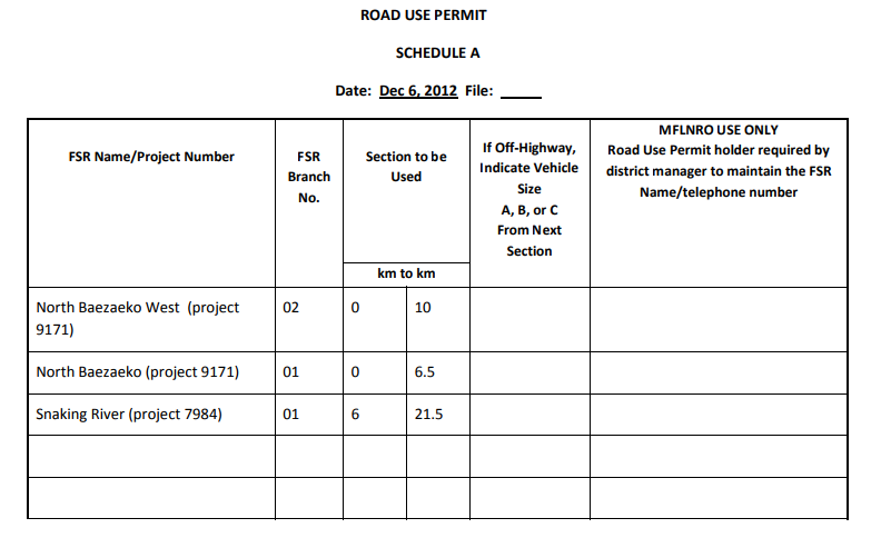
Example: Hauling from 6710 (North Baezaeko West FSR project 9171.02) to town via the 6600 (North Baezaeko FSR project 9171.01) and the 5100 (Snaking River FSR project 7984.01).
Make it look like this for quicker turn‐around:

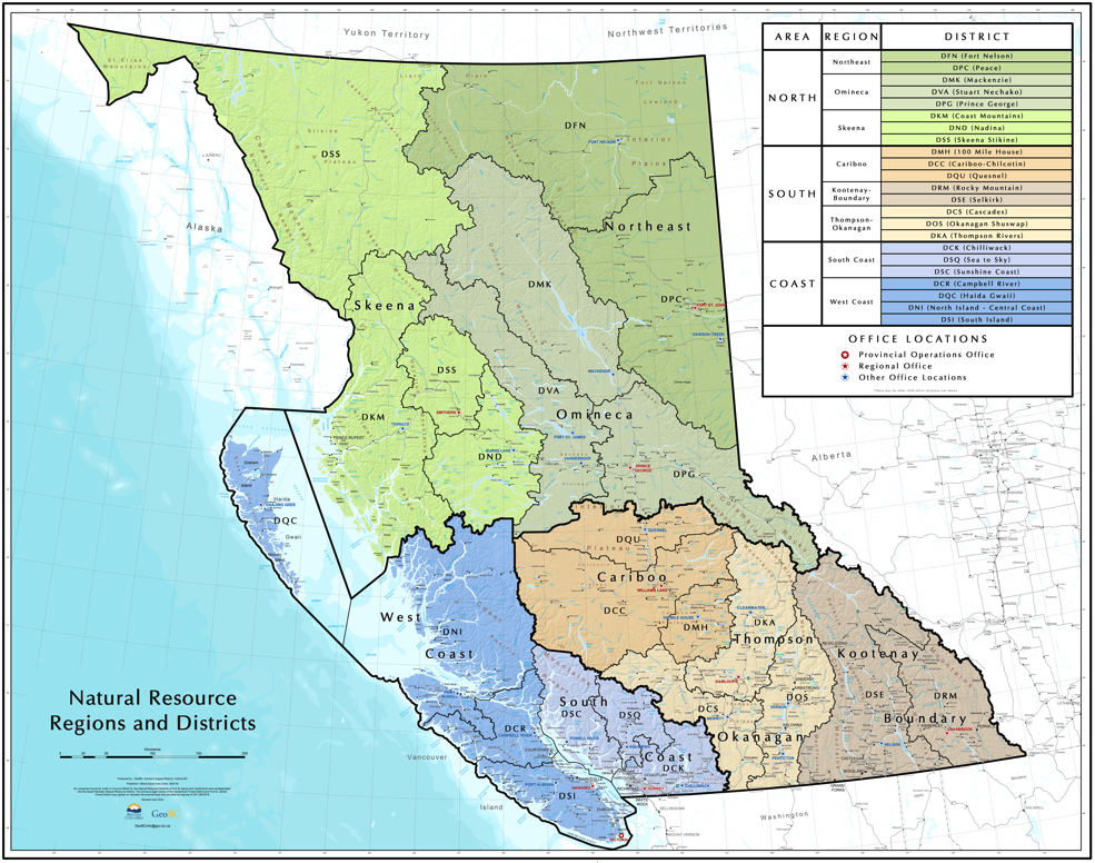
Click to find your Natural Resource District Office on the map. (Once clicked, map may be slow to load)
Contact your local district office with questions regarding the private timber mark application process.

